01 Island Lab · August 2026
The People's Posidonia
A coast stewarded by the people who live on it. Pollica, on the Cilento coast, as the test for the Mediterranean.
Island Lab · Sean Kolk and Kate Schnippering · sean@islandlab.dev · islandlab.dev
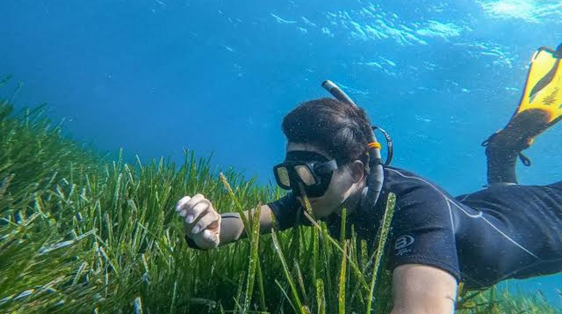
Posidonia oceanica off Acciaroli, July 2026.
02 The problem, one of two
The Mediterranean is built on one plant
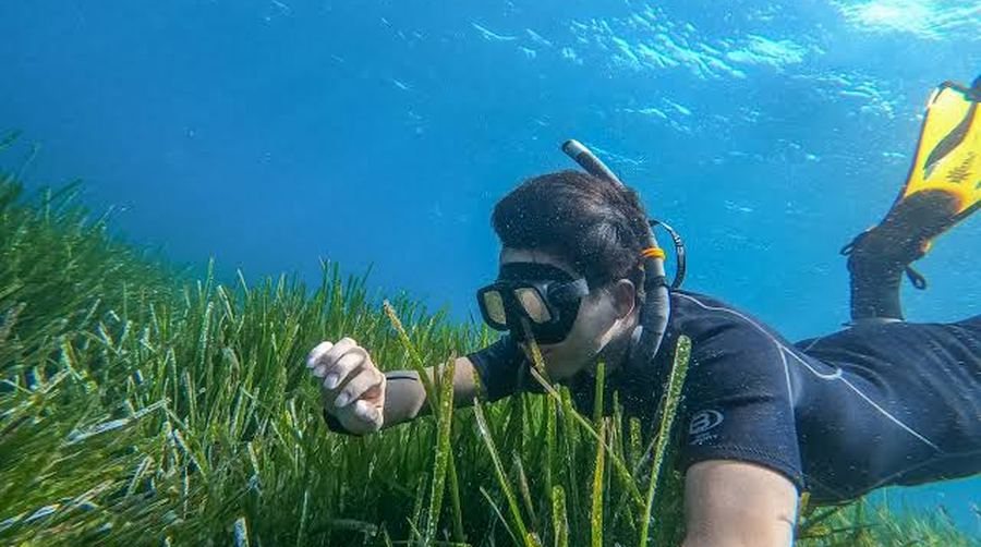
Posidonia oceanica grows nowhere else on earth. It is where the inshore fish spawn and shelter, it takes 20 to 30 percent out of the waves before they reach the beach, and it holds carbon in its matte for millennia. Europe protects it as a priority habitat. Its own scientists project it failing around 2049.
evidence ledger, rows E1, E4 and E7 to E10 what the trajectory does
What "functional extinction" means, the losses as measured, and what the meadow is doing for the coast
The 2049 figure, stated precisely, because it will be checked. Jordà, Marbà and Duarte, in Nature Climate Change in 2012, projected functional extinction of Posidonia oceanica at roughly 2049, plus or minus ten years, under a moderate rather than a worst-case emissions scenario. Functional extinction is a demographic term: shoot density collapsing below the point where a meadow sustains itself. It does not mean the species vanishes from the Mediterranean, and it is model output rather than an observation. A separate habitat-suitability model (Chefaoui et al. 2018) projects 75 percent of suitable habitat lost by 2050 in the worst case, answering a different question by a different method. There is also live counter-literature arguing that heat-adapted edge populations may be more resilient than the 2012 model assumed. All three belong in the same paragraph, and this document will not quote the headline without them.
The honest version of the loss figure. The widely quoted "a third of the Mediterranean's meadows" is a regression of 34 percent measured only across the sites that have historical data, some 368,837 hectares of the 1,224,707 mapped (Telesca et al. 2015). Against everything mapped, documented loss is about 10 percent, and regional losses span 13 to 50 percent. Posidonia had the lowest proportion of recovering sites of any European seagrass (de los Santos et al. 2019); the Europe-wide "trend reversal" in that paper is Atlantic eelgrass, not this plant. Where the record is long enough to measure, a third of it has gone, and nobody is measuring most of the rest.
The status split that matters. The species is assessed Least Concern by the IUCN, because it is a widespread endemic. The habitat it builds, Posidonia beds, EUNIS A5.535, is assessed Vulnerable in the European Red List of Habitats (Gubbay et al. 2016), and is a priority habitat under Annex I of the Habitats Directive, listed in Annex II of the Barcelona Convention SPA/BD Protocol and Appendix I of the Bern Convention. The plant is not going extinct as a taxon. The meadow, as a working ecosystem on any given coast, is what is at risk, and that is what the fishery and the beach actually depend on.
What it is doing while it is there. Meadows cut wave height by 20 to 30 percent against bare seabed and wave runup at the beach by 10 to 60 percent; modelling puts seagrass loss at 54 percent of the projected 1.46 metre rise in extreme water levels by 2100 under high emissions (Agulles et al. 2024). Up to 700 tonnes of carbon per hectare in the deepest matte, with a typical stock nearer 327 (Monnier et al. 2021 and 2022). Up to 14 to 20 litres of oxygen per square metre on a productive day from a healthy meadow, a gross best-case daytime figure rather than a constant. More than 50 fish species are documented in it, including the commercially landed Diplodus, Symphodus and Sarpa salpa. The often-quoted "20 to 25 percent of Mediterranean fish species" could not be traced to a primary source, so it is not used here.
And it does not come back. Horizontal rhizome growth is about a centimetre a year and natural recolonisation is modelled in centuries, one model at roughly 600 years. Transplantation does work, at 78 to 93 percent fragment survival over four to six years, so the defensible statement is that Posidonia cannot be fully restored on a human timescale rather than that it can never be replanted. That distinction is the whole reason this proposal is about protection rather than replanting.
03 The problem, two of two
Nobody is paid to keep it
The meadow is a commons. Everyone draws on it, nobody is accountable for it, and the people closest to it earn their living by taking from it. Designation is not protection: 6 percent of this sea carries a protected-area label and 0.23 percent is actually protected.
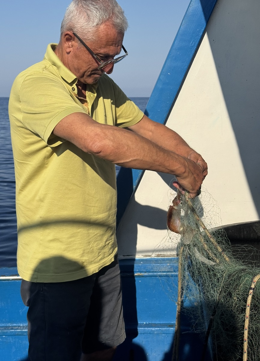
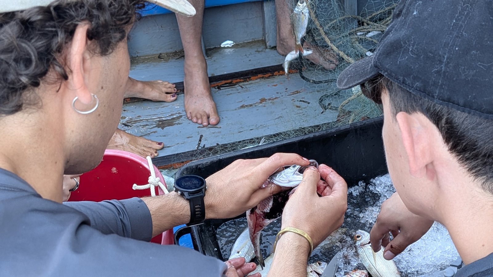
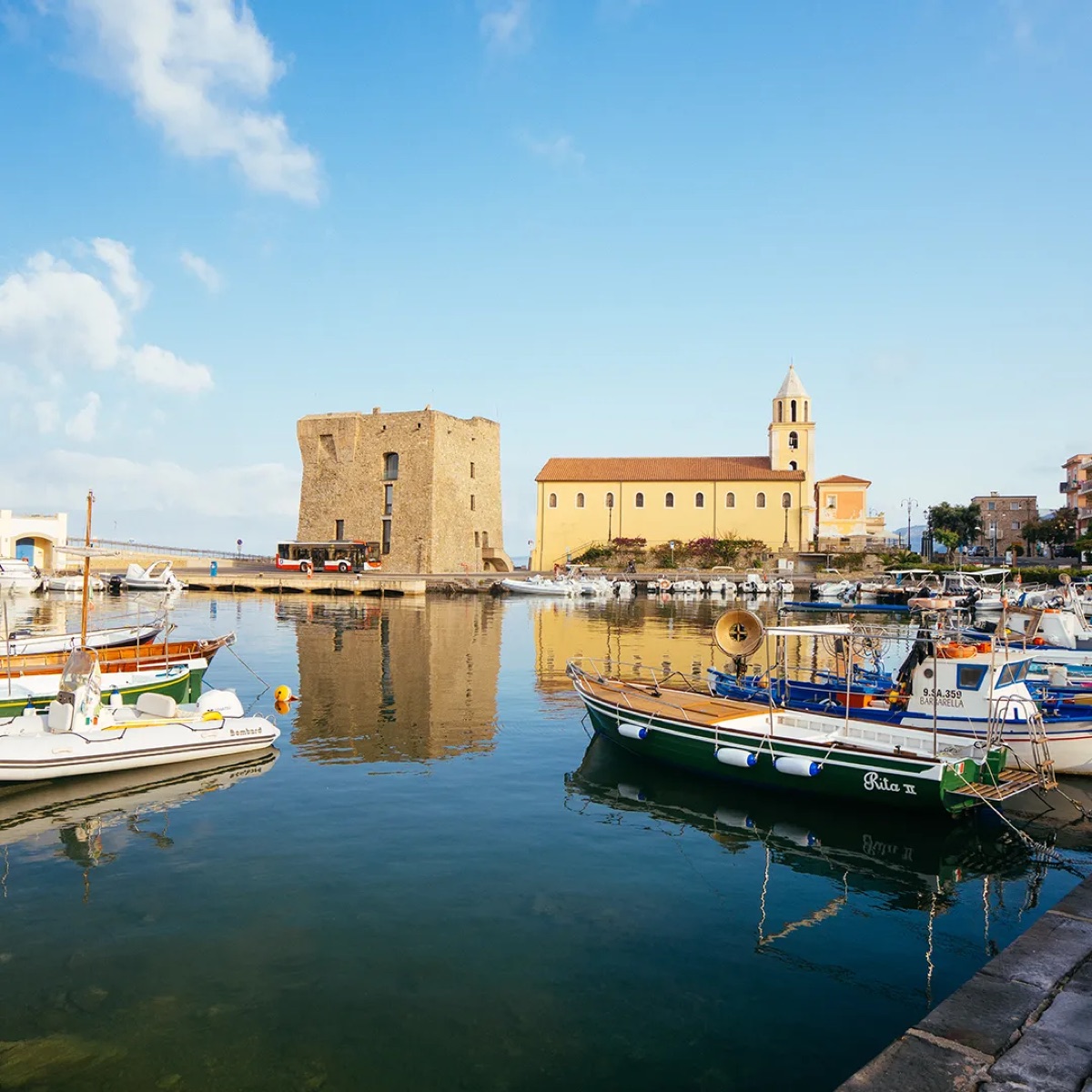
A night's fishing off Acciaroli leaves about thirty euros. Forty years of knowing where the meadow thins goes home with the boat and stops there.
One Corsican bay lost 72.9 hectares, 11 percent of its meadow, to recreational anchoring. The America's Cup races in Naples from May to July 2027, up this coast.
of this moment
evidence ledger, rows P1 and N3 the week this came from
What the boundary protects, what anchoring does, and where the thirty euros comes from
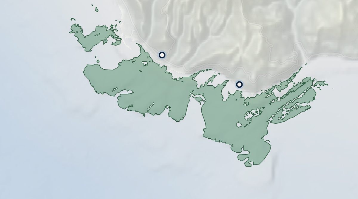
The protection genuinely works, and it stops at Punta Licosa. The Area Marina Protetta Santa Maria di Castellabate was established in October 2009 over about 7,095 hectares, managed by the national park authority, and it protects and monitors Posidonia as a conservation target. It lies entirely within Castellabate, immediately north of Pollica, and ends at Punta Licosa. Pollica's own coast, Acciaroli and Pioppi, is outside it. The two coasts carry the same meadow and the same boats, and one of them has anchoring zones, sanctions and a mooring field while the other has none of it.
Anchoring is the stressor the record actually documents, and it has been measured. Sant'Amanza bay in Corsica lost 72.9 hectares, 11 percent of its meadow, to recreational anchoring, and 7.5 hectares of that went in the single year between 2019 and 2020. The crediting method approved in France uses a Tier 2 parameter of about 160 square metres of abrasion per anchored boat. Basin-wide, WWF's 2025 assessment models more than 179,000 vessels anchoring over seagrass in 2024 and names Italy the worst affected country, though that figure is modelled from vessel tracking as exposure rather than measured as destruction, and is used here on those terms.
Enforcement works when somebody funds it, which is the argument this whole proposal makes. The Balearics banned anchoring over all 650 square kilometres of their Posidonia by decree in 2018, with fines to 450,000 euros, and run about twenty surveillance vessels across four islands each summer. Illegal anchoring has fallen to 6.4 percent of vessels checked, the lowest since the service began. Nothing about that is technically hard. It is a question of who is watching, and who pays them.
The thirty euros was stated by the fishermen of Acciaroli during the People's Posidonia week in July 2026, as the typical profit left after fuel and the broker's cut. It is a reported figure from the people who earn it rather than a survey, and it is used as such. On the America's Cup: the Match runs 10 to 18 July 2027, with the competition in Naples from about May, and a preliminary regatta there in September 2026. The size of the spectator fleet is not something this document has sourced, so no boat count is claimed. Barcelona in 2024 drew 244 anchored superyachts and 1.8 million visitors over 59 days of racing, which is the only comparable that exists.
04 What is being offered
Pay the coast to keep its own sea
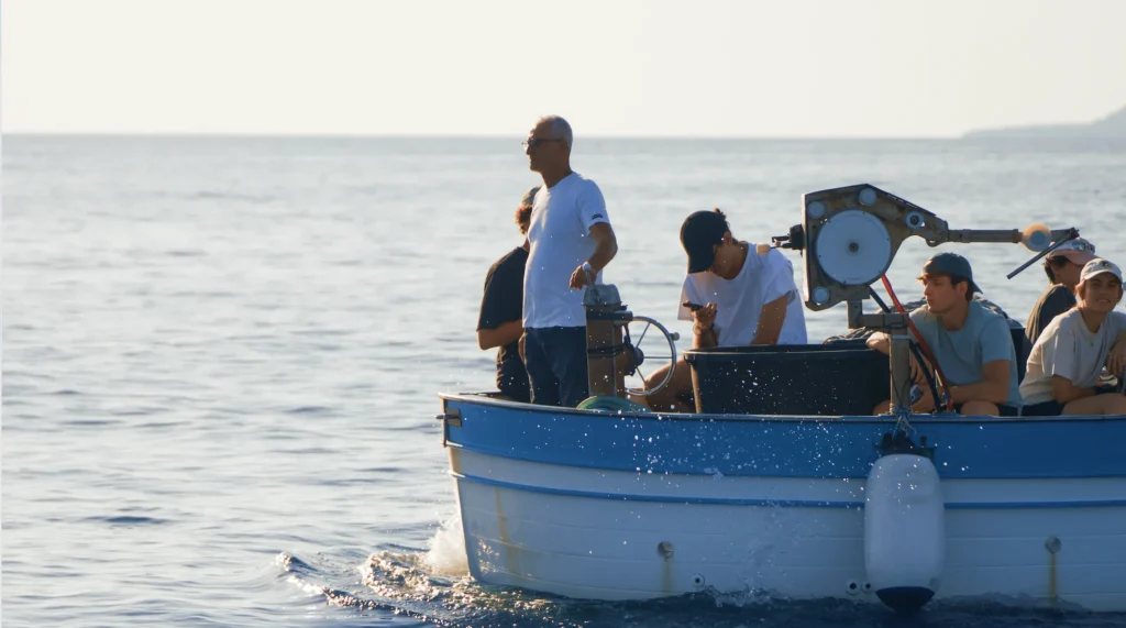
One coastal community, brought together around one meadow, and paid to steward it: teaching, training, survey work and enforcement as jobs rather than volunteering. The fleet stops being the pressure and becomes the instrument, and the record it produces belongs to the community.
Why the shift is already underway, and why the pairing is the design
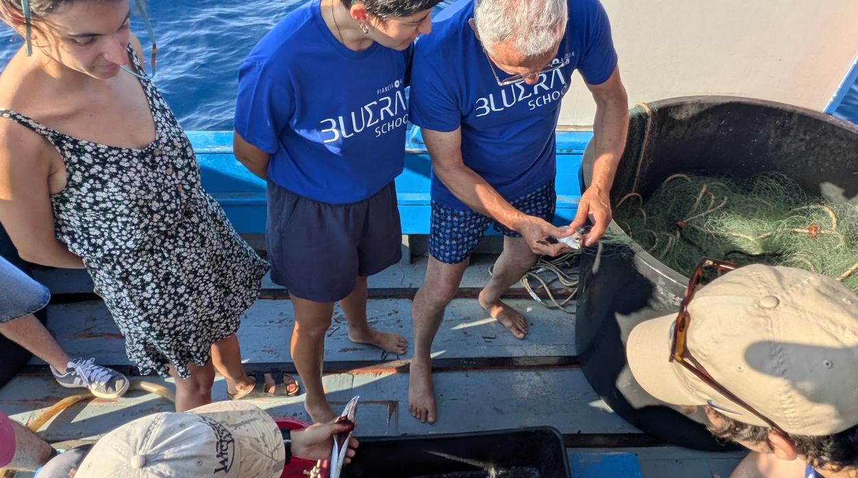
Vittorio already earns more from taking people out than from fishing. Nothing has to create the transition from extraction to stewardship: the decline of the fishery and the arrival of ecotourism have already begun it. The survey is not a vessel hire, it is a marginal addition to a day that is already funded, which is why the network can plausibly sustain itself. The capital item is the instrument rather than the labour: side-scan sonar is about 8,000 euros per boat.
The day rates, with their provenance, because they carry a lot of weight. The fishing and visitor figures were reported by the fishermen of Acciaroli themselves, not measured by us or drawn from a fleet dataset. Published Italian pescaturismo pricing supports the direction: about 43 euros per passenger for a short outing and 111 for a full day, in a range of roughly 40 to 150, with trade-press models putting a full boat at around 720 euros gross and 512 net. No published study gives a clean daily net income for ordinary artisanal fishing, so the thirty euros stands as a reported figure and is labelled that way everywhere it appears. Correcting it downward or upward changes the size of the margin, not the direction of the shift.
The pairing is the interface. These are people who barely use phones, so an interface complex enough to be useful would be complex enough to be abandoned. The fisherman never touches a complex screen; the student does. The fisherman brings forty years of knowing where the meadow is, the student brings the phone, and neither works alone. That is why the school partnership is load-bearing rather than decorative.
The jobs are the mechanism, not the by-product. A paid local coordinator, survey days that pay, students in a training programme that ends in a qualification, guides whose tours are worth more because the meadow is intact. Every one of those is a person whose income improves when the meadow does, which is the only enforcement that has ever held on a commons. The split is deliberate: Island Lab supplies the method, the tooling and the quality control, and the community owns the data, which is what makes the monitoring independent of the parties being monitored.
07 Who is on board
Five functions, and who holds each one
Nobody here is doing this alone, and the split is deliberate. The fleet and the students collect. Island Lab holds method and quality. Academia validates. The comune signs off on what enters the public record, and acts on it.
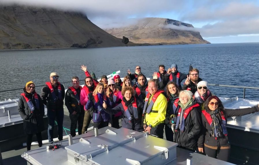
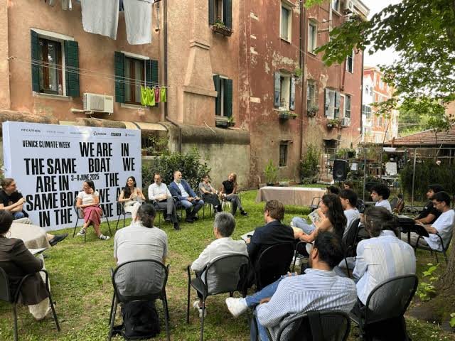
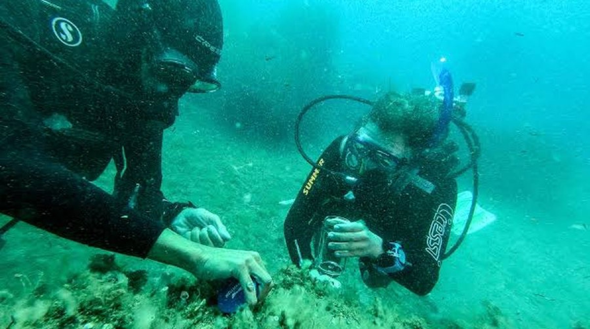
This is the split being proposed, not an agreed one. The Pollica administration has not been approached about this programme and nothing here should be read as their commitment.
Each party, and why sign-off sits with the municipality
Island Lab is a limited liability company registered in Washington State, founded by Sean Kolk and Kate Schnippering. It supplies the method, the tooling and the quality control, and it does not hold the data. The right receiving vehicle for an Italian municipal programme is an open question worth settling together.
The Future Food Institute was founded in 2014 and runs its flagship Paideia Campus at the Castello dei Principi Capano in Pollica as a twelve-year regeneration project. It is the reason a coastal community, a school cohort and a fishing fleet can be in the same room in this town, and the education-to-livelihood engine this proposal runs on is FFI's rather than ours. BLUERA is the Comune di Pollica's own marine programme, covering 75 kilometres and fourteen comuni under FEAMPA, and its Blue Schools strand was built with FFI. The pairing this proposal describes is the operational form of that strand.
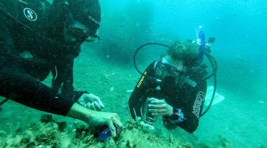
Academia and the park, already working on this exact water. The Stazione Zoologica Anton Dohrn runs a Posidonia summer school with the Museo Vivo del Mare at Pioppi, teaching the PREI index with diving fieldwork at La Punta between Acciaroli and Pioppi. La Punta is a 157 hectare marine oasis established in 2008, affiliated to WWF and managed locally by the association Marenostrum. The Cilento, Vallo di Diano and Alburni national park authority manages the marine protected area to the north. Separately and independently of us, Pollica has run its own coastal protection measures for over a decade, and is building what is billed as Europe's first plant converting beached Posidonia into biomethane at Acciaroli.
Why the comune signs off. A record owned by a project ends when the project does. A record held by the municipality is one a community can act on and a verifier can audit, and it is what makes the monitoring independent of the parties being monitored. The closest working example is Torre Guaceto, where the fishermen sit on a standing co-management roundtable alongside scientists and authorities rather than being consulted by it.
09 Feasible · will the data hold up
From a polygon to a condition, monthly
Extent mapping says present or absent, once every five years or so. A fleet running lines says how much, in what condition, and where it is breaking up, inside the season a decision has to be made.
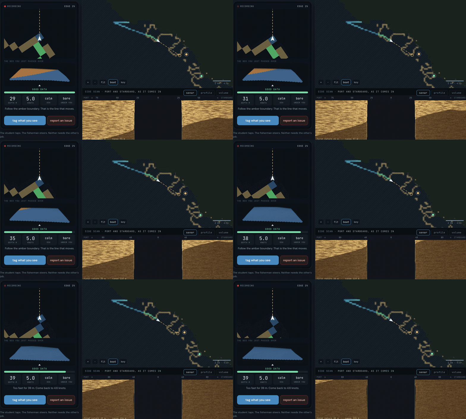
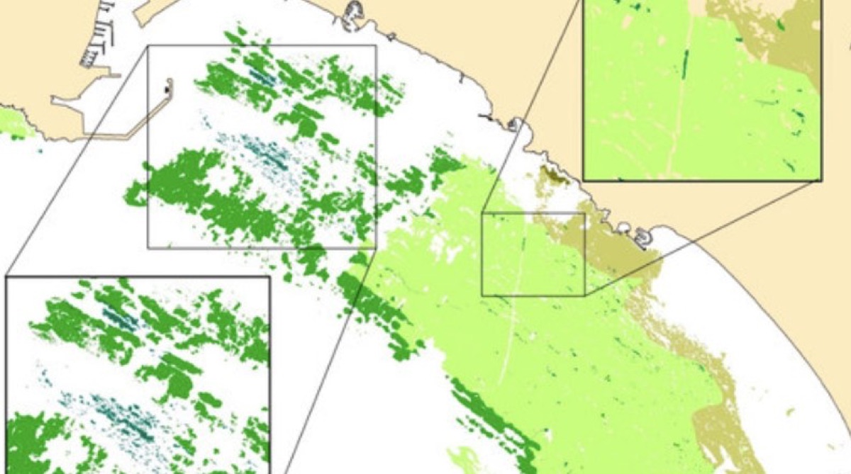
the living map evidence ledger
The kit, the audit trail, and who consumes what the fleet produces
The kit: side-scan sonar, temperature and salinity sensors, GPS tracks, photogrammetry and drop cameras. Every point carries a vessel, a route, a timestamp and a named operator, which is the audit trail a verifier asks for and the reason fleet-collected data can survive review at all.
Why the cadence is the claim rather than the staleness. Producing one extent survey takes a local community, a local company, Rome and several universities, and repeats on roughly a five-year cycle. Newer mapping is being released, so the argument is not that today's map is old. Patrol, anchoring decisions and any avoided-loss claim turn over inside a season, and the crediting method that exists requires third-party audit about every five years with the evidence accumulated continuously between.
One fleet, three consumers. Scientists get where to dive next and ground truth to compare models against, so limited dive days go where the meadow is actually changing. Restoration investors get a provenance-grade baseline and the stretches that do not need replanting, which for millions deployed is worth more than the map. Verification gets continuous measurement instead of periodic survey.
11 Desirable · do people trust it
A nonna is not going to open a laptop
Publishing data is not the same as making it public. It has to be somewhere with a person standing next to it, so the map goes where people already are. The badges below were drawn by the community, not by us.

Routes set, boats coordinated, returns reviewed, the public side kept alive. A paid local coordinator is the first line of the proof-of-concept budget rather than an overhead on it.
What the campaign is for, and what it has already produced
The strategic payoff is local advocates acting on their own behalf instead of waiting for a regulator. When a coastal group can see its own water and trust the numbers, that is the difference between compliance and stewardship, and it is what a funder is actually buying.
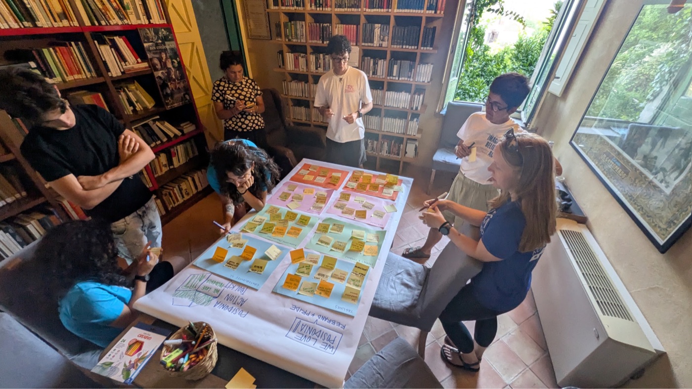
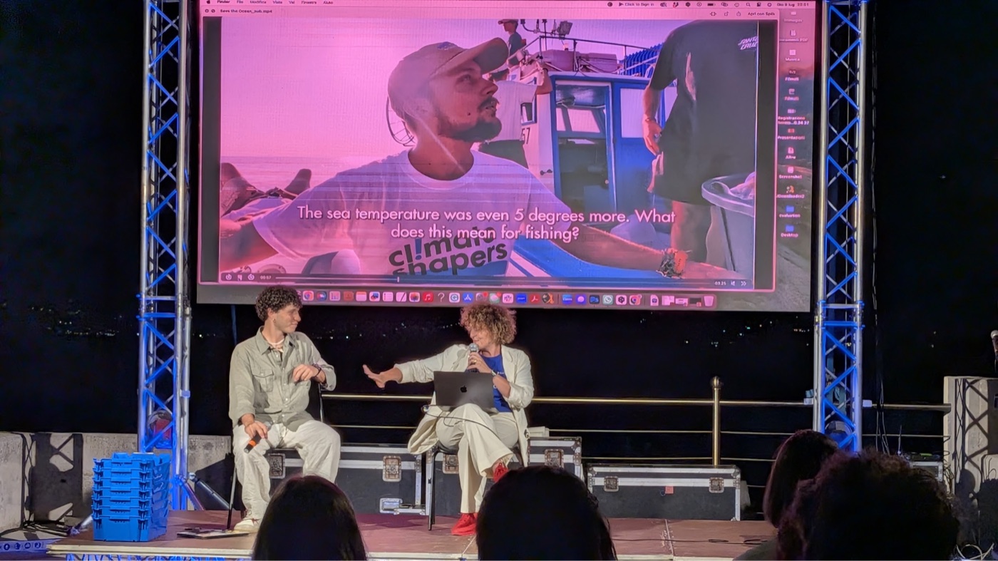
Already made: a youth-led short documentary linking the hidden seagrass to local heritage, slow food and the Mediterranean diet, and the badge set above, drawn during the People's Posidonia week. In development with the community: the key messages, deliberately shaped there so the language belongs to the coast rather than to us. The Living Museum of the Mediterranean Diet at Pioppi, the Paideia Campus at the Castello dei Principi Capano and the harbour at Acciaroli are the standing venues; the BLUERA Summit and Viviamo Cilento are the moments.
12 The tools, and what they change
One morning, and what changes because of it
The instruments exist and every one of them opens in a browser. What matters is not the software: it is that a boat that was going out anyway comes back with a record, and five people's work changes because of it.
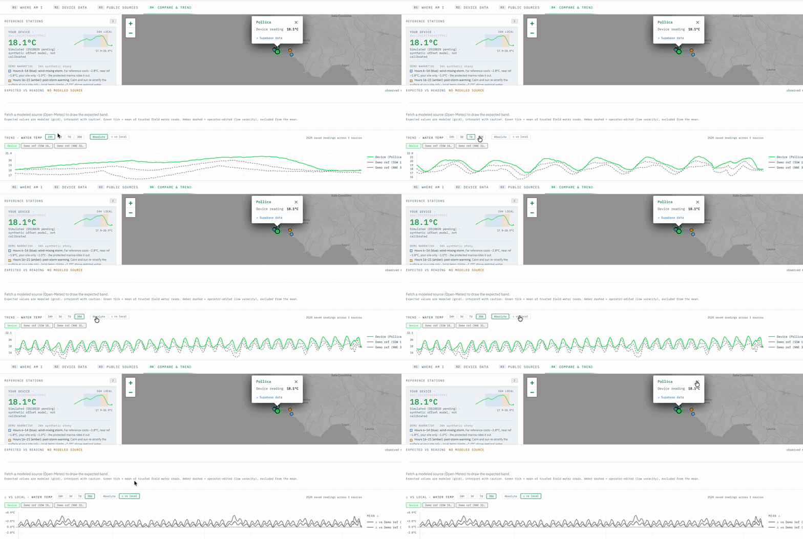
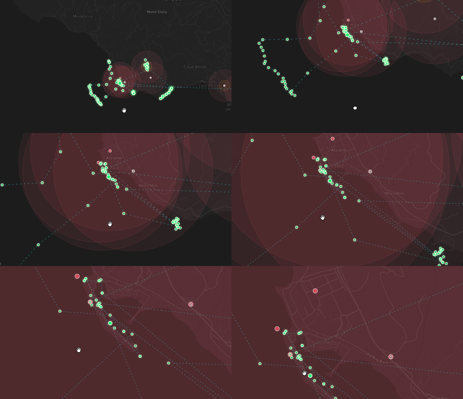
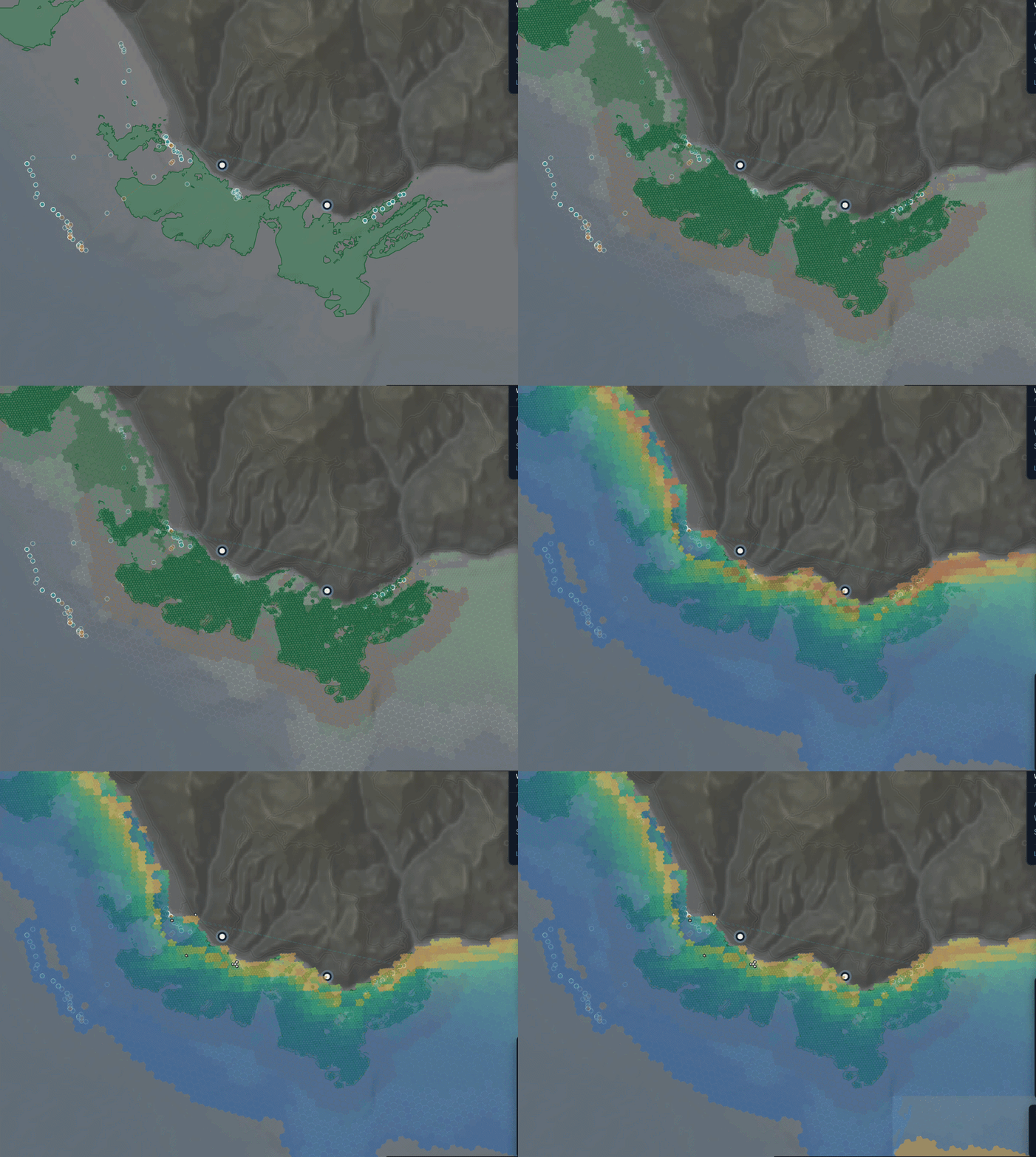
periplus, the survey planner the ecosystem map meadow futures the loop, demonstrated the whole stack sean@islandlab.dev
The protocol itself, and the life it changes
The protocol is four steps and it fits on a card. A route is assigned to a boat for the water it was fishing anyway. The student runs the capture while the skipper runs the boat. The return is checked against the last pass over the same ground and against the model that expected something. What changed sets next month's line. Nothing in it asks a fisherman to learn software, and that constraint is why it might actually run.
What it changes, per person. The skipper adds about fifty euros to a day already funded by visitors, and his knowledge of where the meadow thins becomes a record instead of a memory. The student leaves with a survey qualification and a portfolio of real data rather than a certificate of attendance. The scientist stops spending dive days confirming what is already known. The comune gets a defensible record it owns, which is what turns an anchoring rule into an enforceable one. The visitor gets a coast that is still worth coming to in ten years.
What is honest about the state of it. Every tool linked above opens and runs today, on real ISPRA extent and real open ocean models. What has not happened is one complete loop on real fleet returns on this coast, and generated values are never shown as findings anywhere in these tools. The first phase closes that loop, and that is the whole of what is being asked for.