01 Island Lab · August 2026
The People's Posidonia
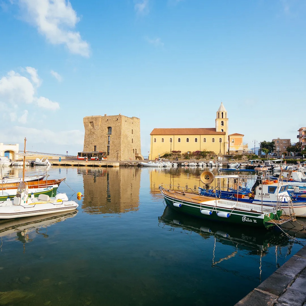
Pollica, on the Cilento coast. A meadow protected, and measured by the people who already fish it.
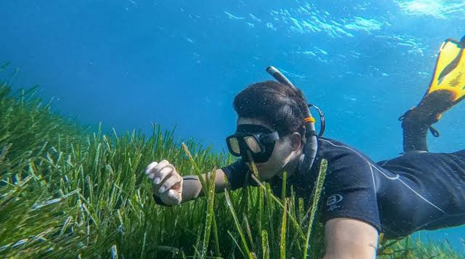
Posidonia oceanica off Acciaroli, July 2026.
03 The disconnect
The people closest to the meadow are the least equipped to watch it
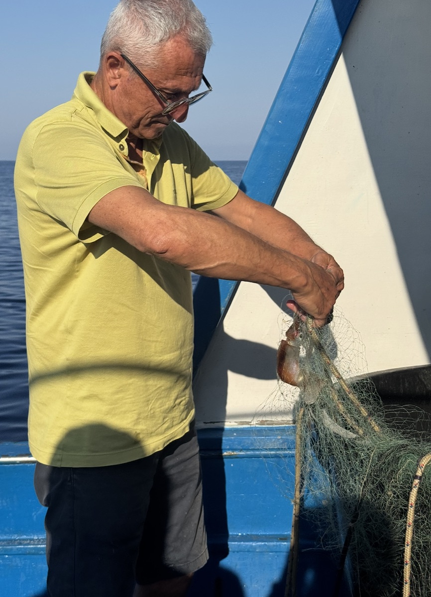
Posidonia has been degrading and the fisheries have declined with it. A night's fishing off Acciaroli leaves about thirty euros once fuel and the broker are paid.
of this moment
He is one instance of a general disconnect, and one who can shift. evidence ledger
Where the thirty euros comes from
Stated by the fishermen of Acciaroli during the People's Posidonia week in July 2026, as the typical profit left after fuel and the broker's cut on a night's small-scale fishing. It is a reported figure from the people who earn it rather than a survey, and the ledger carries it at that confidence.
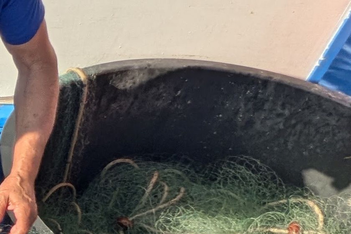
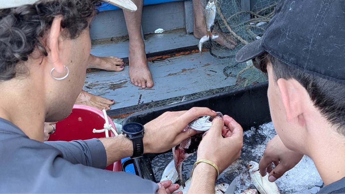
The fourth panel is the argument. The boats, the knowledge, the students and the science are already in place on this coast. What does not exist is anything that turns a morning into a record.
05 The cadence gap
Coastal knowledge arrives every five years
Producing one extent survey takes a local community, a local company, Rome and several universities, and repeats on roughly a five-year cycle.
Protection, patrol and maintenance need it monthly. ISPRA 2017 via EMODnet
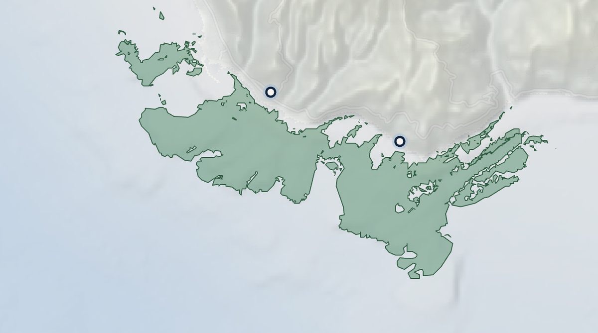
What a survey cycle costs a coast, and what the mapped extent actually is
Newer mapping is being produced and released, so the point is not that one map is old. The point is the interval. A five-year cycle can describe a meadow. It cannot support a patrol, an anchoring decision, or an avoided-loss claim, all of which turn over inside a season.
The extent this proposal works against is 5,310 hectares across the Cilento coast, or 1,075 hectares within Pollica's own bounds. Both are computed by spherical polygon area over the ISPRA features held in the repository, on 4 August 2026, and both can be re-run. Which footprint the programme covers is an open scope decision and every ceiling figure moves with it.
One correction worth stating plainly. Until 4 August 2026 three internal working documents carried a different extent figure, inherited from the starting point of a chart rather than computed from the survey. It was caught, retracted, and replaced with the two areas above, both of which derive from the ISPRA features themselves and can be recomputed on demand.
06 What a morning becomes
Four things a boat can do that it could not do yesterday
The simplest possible surface on the water, and the whole coast behind it. Every screen below is a tool that runs today.
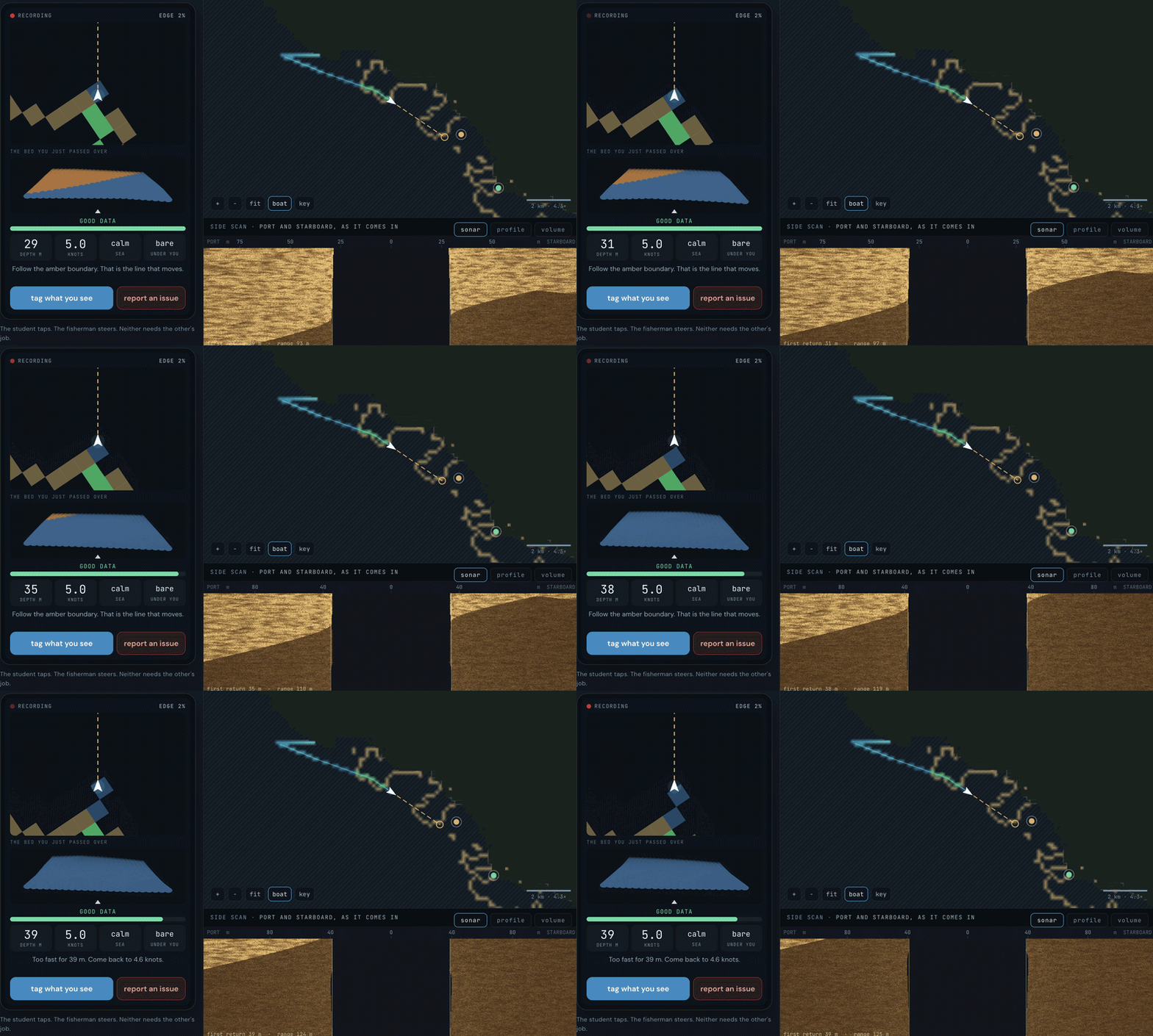
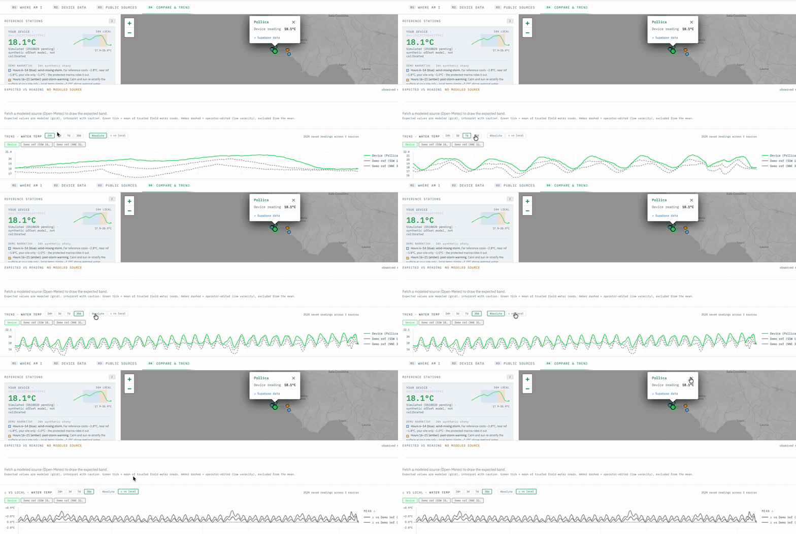
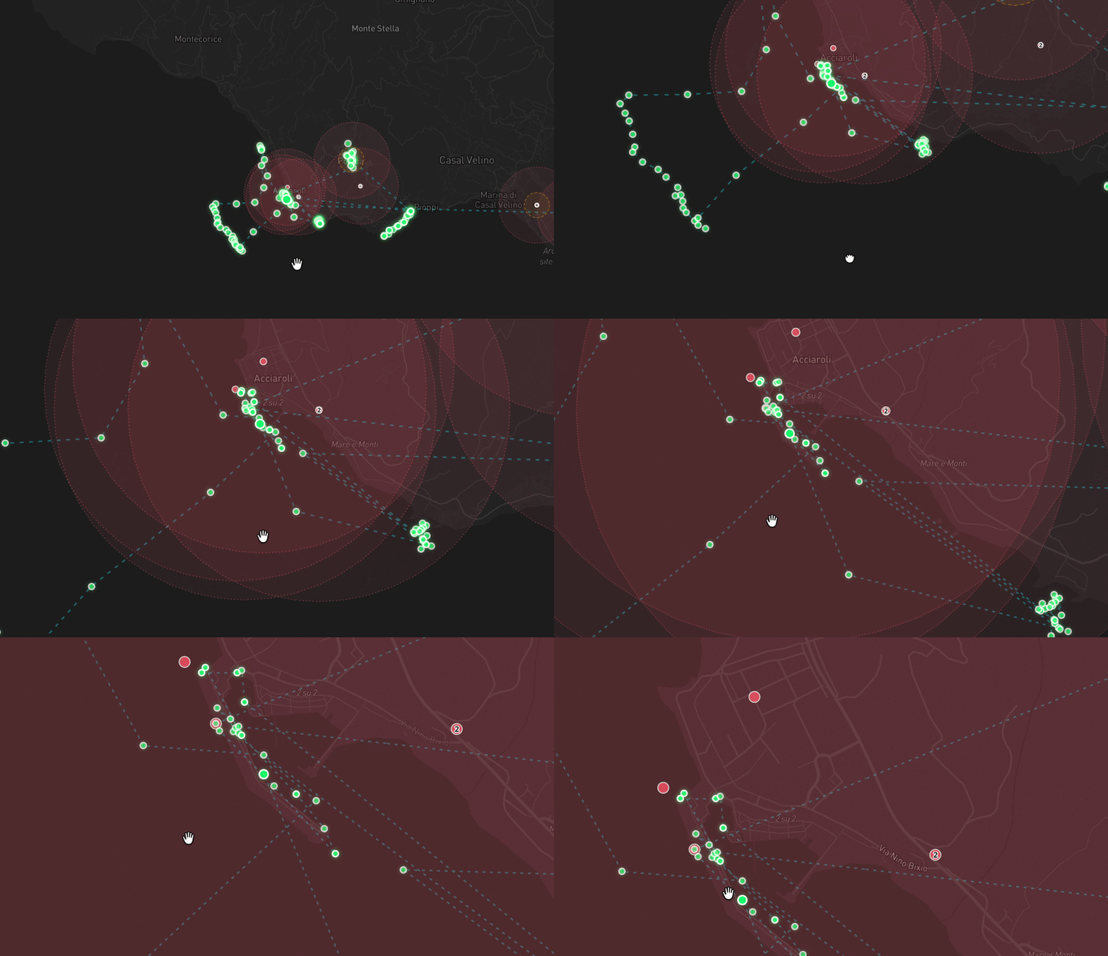
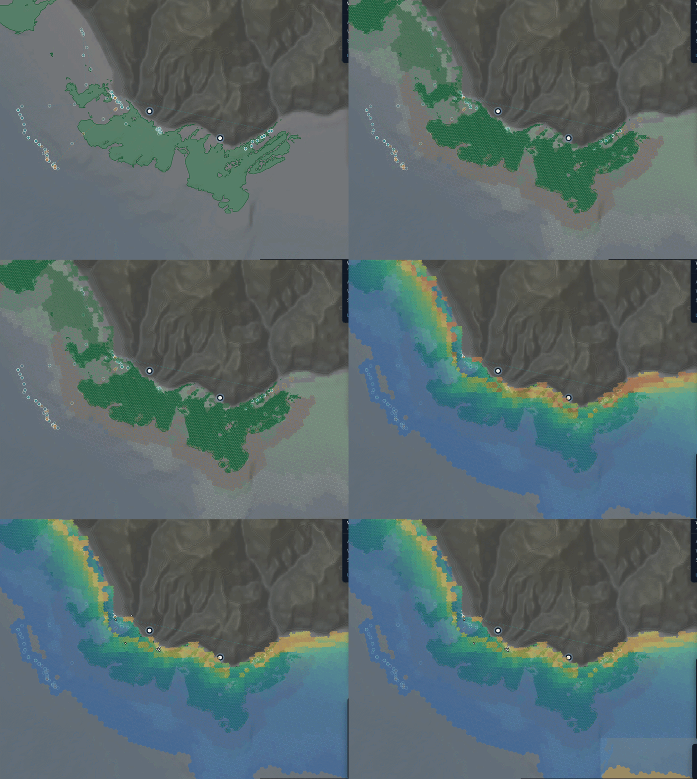
All of this could be done informally, one person ringing another. The instrument is what makes it consistent, repeatable and auditable, which is the difference between local knowledge and admissible evidence.
08 The transition
The shift has already started, on its own
Fishing pays 30 to 100 euros a day and is declining. Taking visitors out pays 200 to 300. A survey adds about 50 to a day the visitors already fund.
Vittorio already earns more from taking people out than from fishing. cost model
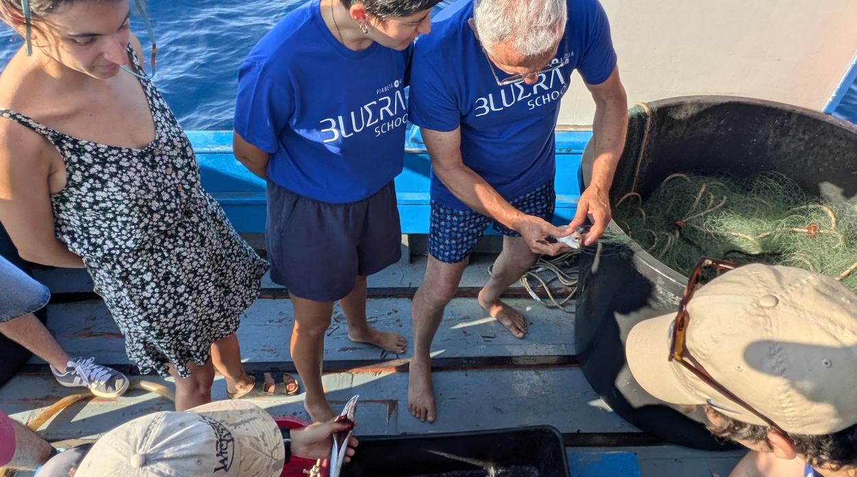
These are people who barely use phones, so an interface complex enough to be useful would be complex enough to be abandoned. The fisherman never touches a complex screen. The student does. Neither works alone, and that is why the school partnership is load-bearing rather than decorative.
The people who currently extract become the people who measure, and the evidence they produce is what a protection claim rests on. Surveying, they are also eyes and ears: the Balearics run twenty vessels across four islands to get what boats already on this water could give.
Why the survey is an add-on and not a charter
The transaction is not a vessel hire. The boat is already going out, the day is already funded by visitors, and a student is already aboard. The survey rides along. That is why the marginal figure is about 50 euros a day rather than a charter rate, and it is why the network can plausibly sustain itself: nothing has to create the shift from extraction to stewardship, because the collapse of the fishery and the arrival of ecotourism have already begun it.
The capital item is the instrument, not the labour: side-scan sonar is about 8,000 euros per boat, alongside temperature and salinity sensors, GPS and a phone.
The third state is cultivation, and it has a Mediterranean precedent rather than a technical one. In the Kerkennah Islands families hold named plots of seabed they fish and tend with fixed passive traps. A coast can own and tend its sea floor. It can also lose it, which is what is happening there now.
11 Not a standing start
The relationships, the boat and the first data already exist
Survey routes have been run on this coast. The ecotourism loop is already earning. The students are already aboard, and the town is already with the work.
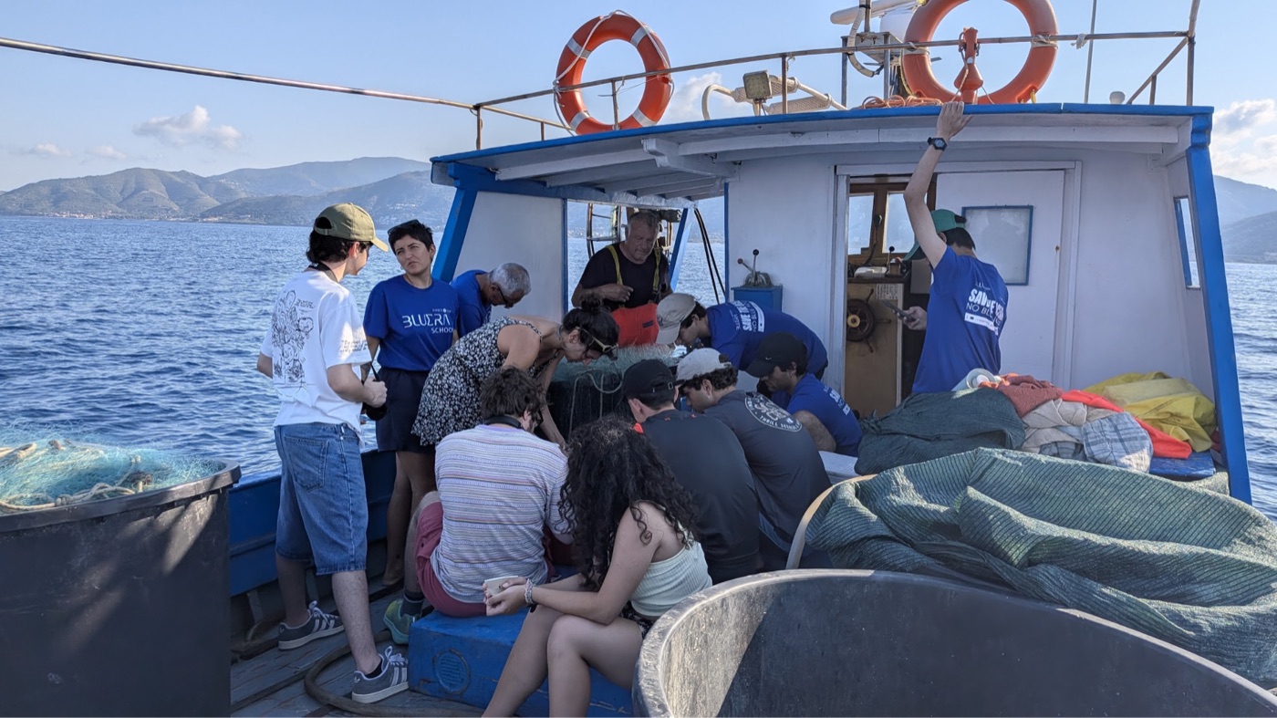
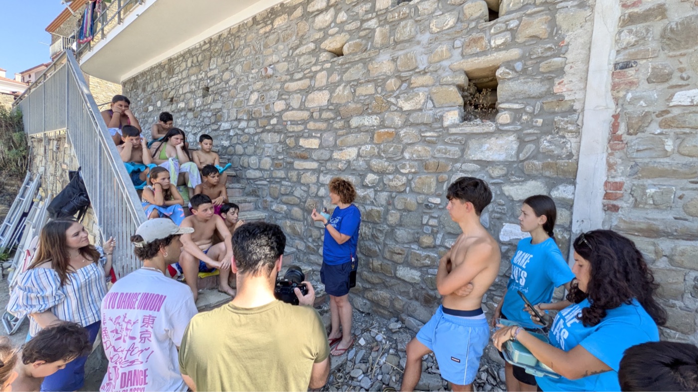
Ten years of the mayor's protection measures are already in place. what the week produced
What has already been built, and what has not
The mapping and monitoring surfaces are built and running: the ecosystem map integrating ISPRA extent with open ocean models, the survey planner, the scenario tool, the investment board, and the trust layer that attaches provenance and uncertainty to every reading. All of them open at their own addresses.
What has not run is a survey on real returns, end to end, on this coast. Two outings have been made and the protocol has been demonstrated on generated data. Closing that gap is what the first phase is for, and it is stated here rather than left to be discovered.
12 What is being proposed
A framework built from the grassroots side
Locally viable, economically sustainable commons management, in three phases, each stating what it buys and what it proves.
~3 MONTHS
~12 MONTHS
~24 MONTHS
The America's Cup comes to Naples from 10 to 18 July 2027, bringing an estimated 10,000 boats through the region. Anchoring management on this coast has a date attached to it that nobody here chose.
Certification, and who Island Lab is
Pollica would be among the first in the world. The first Posidonia project labelled anywhere, PosBacia25 off Nice, was labelled in July 2025 under France's Label Bas-Carbone and verifies at years five and ten, so its earliest issuance is 2030. Italy's national voluntary registry opened in October 2025 with a forestry scope. An Italian methodology for Posidonia exists, developed by an EU LIFE project whose partners include ISPRA and CNR and one of whose three study sites sits inside the national park Pollica belongs to. What comes next is the market, and entering now is early.
Island Lab is a limited liability company registered in Washington State, founded by Sean Kolk and Kate Schnippering. It supplies the method, the tooling and the quality control; the community owns the data. The right receiving vehicle for an Italian municipal programme is an open question and one worth settling together rather than assuming.