01 Island Lab for FFI · August 2026
The People's Posidonia
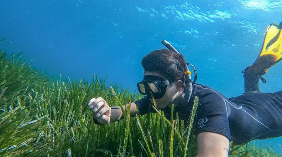
Pollica, on the Cilento coast. A project you could originate: a living meadow protected, and measured by the people who already fish it.
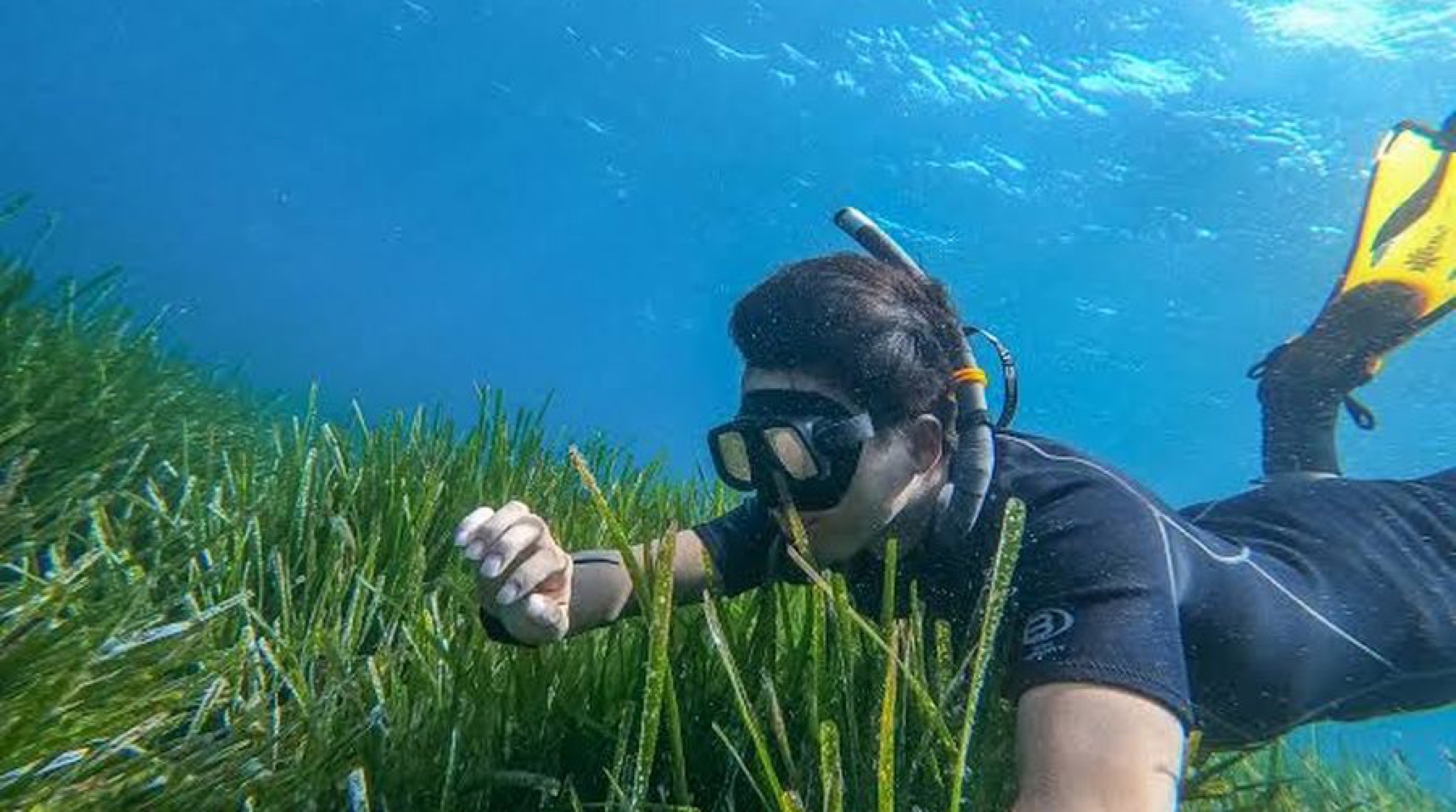
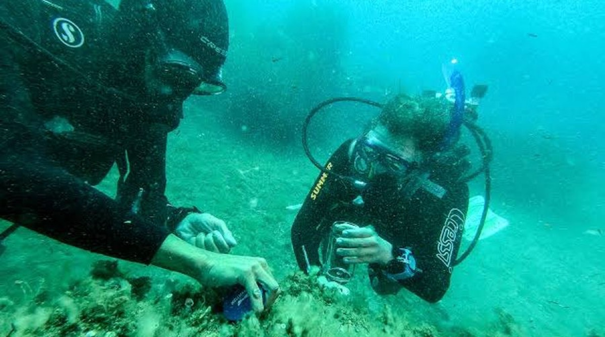
Posidonia oceanica off Acciaroli, July 2026.
03 The place, and one person
A day's fishing nets about thirty euros
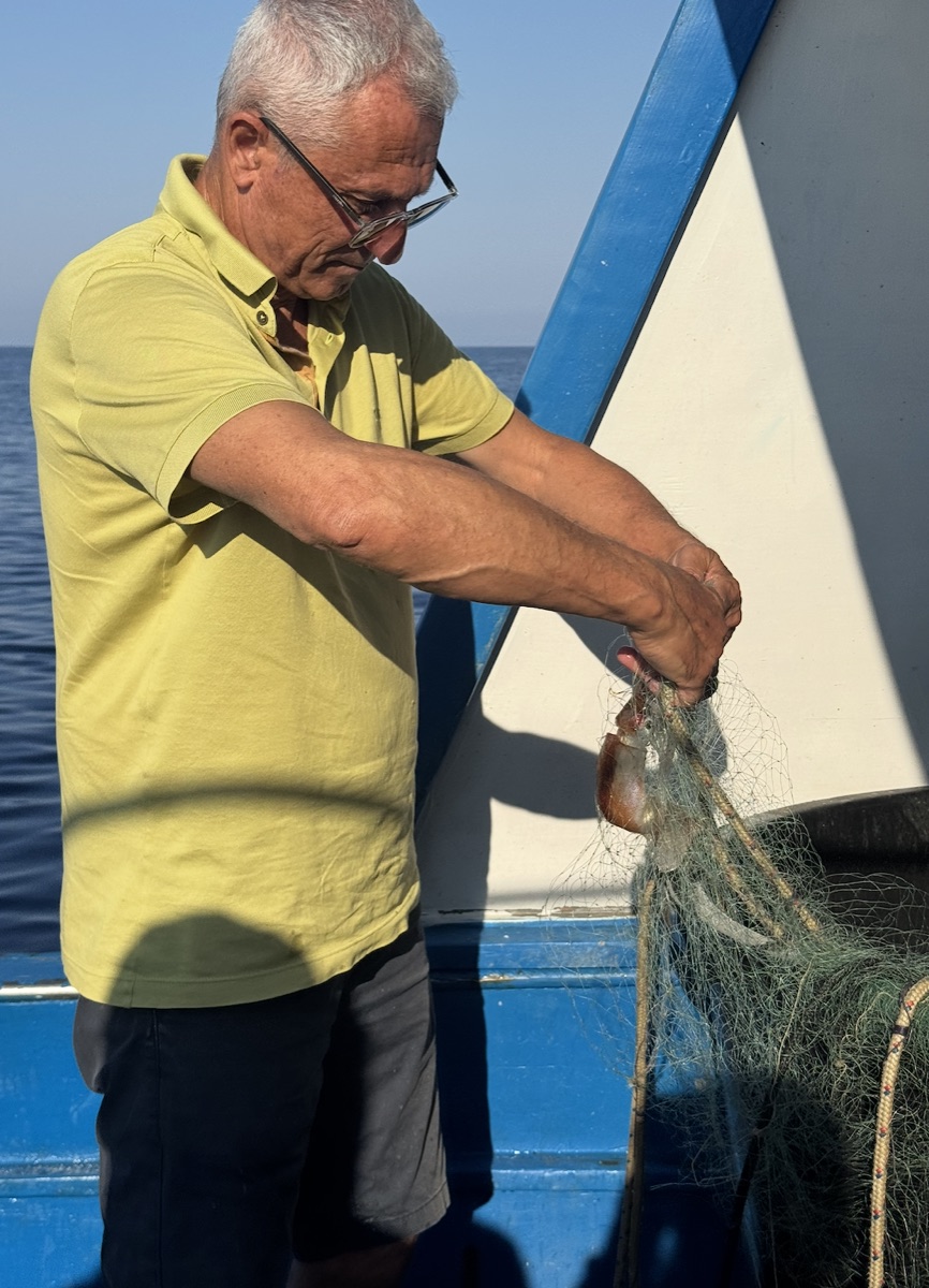
Vittorio leaves Acciaroli at one in the morning and has forty years of knowing where the meadows are.
The margin on the catch does not pay for that knowledge. Nothing currently does. evidence ledger
Where the thirty euros comes from
Stated by the fishermen of Acciaroli during the People's Posidonia week, July 2026, as the typical profit left after fuel and the broker's cut on a night's small-scale fishing. It is a reported figure from the people who earn it, not a survey, and it is carried in the ledger at that confidence.
It matters because it sets the price of attention. A survey day paid at a fair rate is not a subsidy to a fisherman; it is the difference between a fleet that can afford to carry an instrument and one that cannot.
04 The problem is coverage
The map of this coast is nine years old
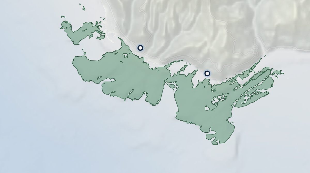
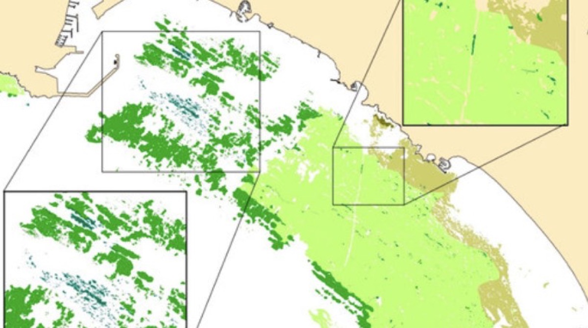
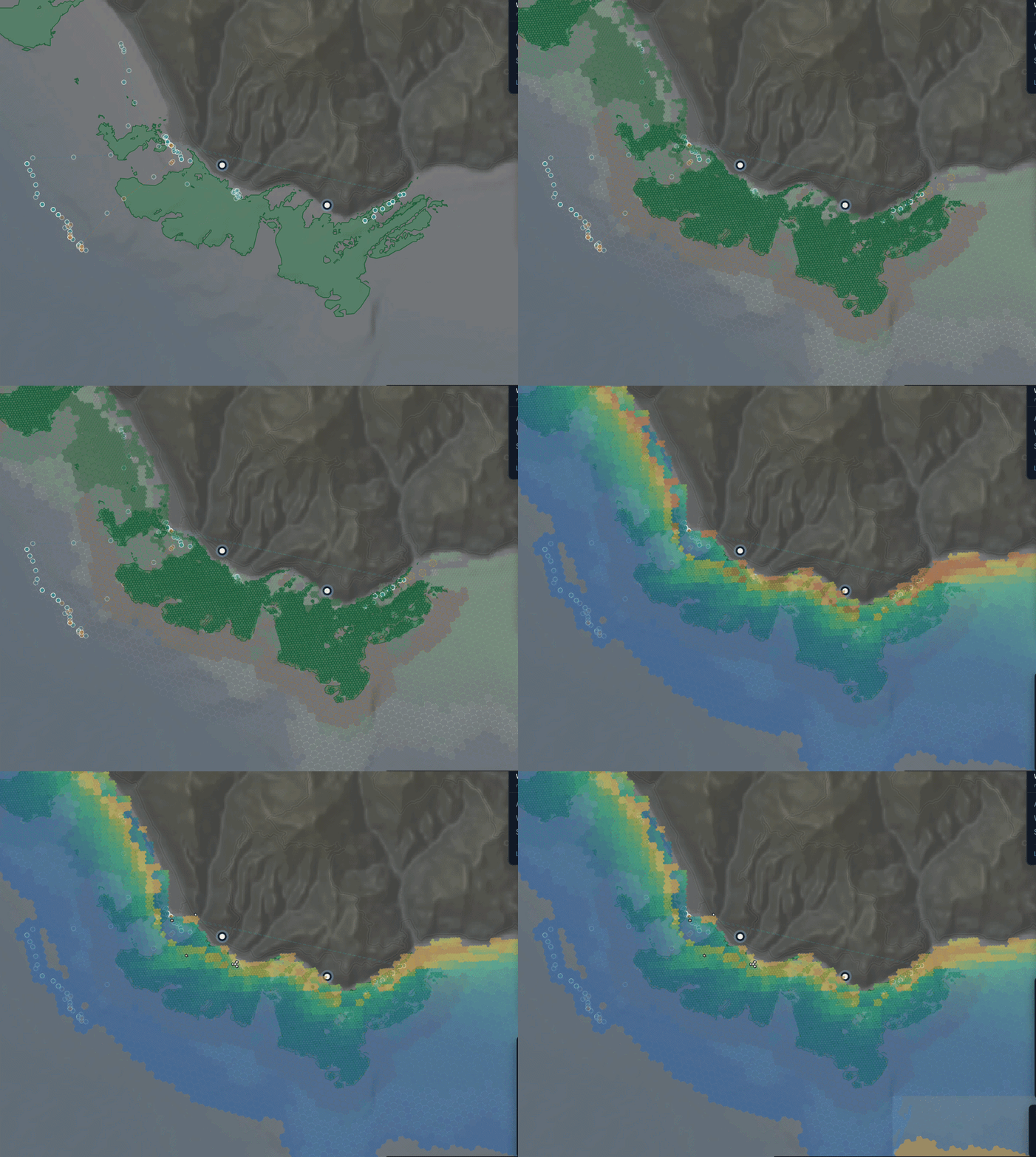
Scientists have worked this water for decades. The cartography everyone still cites is the ISPRA survey of 2017: 391 polygons, 5,310 hectares, present or absent, once.
They are short of boat days, not expertise. ISPRA 2017 via EMODnet
The 5,310 hectares, and a number we retracted
5,310 ha is computed by spherical polygon area over the 391 ISPRA features we actually hold and render, in /apps/_shared/data/cilento-posidonia.json, on 4 August 2026. Source ISPRA 2017 via EMODnet; the area computation is ours and can be re-run.
Until 4 August 2026 three of our own artifacts quoted 4,879 ha as the mapped extent. That figure was the hardcoded y-intercept of a chart, never computed from anything. It is retracted and appears nowhere in this document. We are telling you because you would have found it in the diligence, and because the denominator of an economics case is worth checking twice.
05 What we have already built
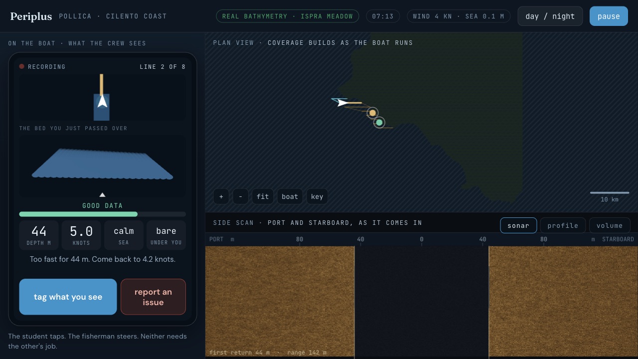
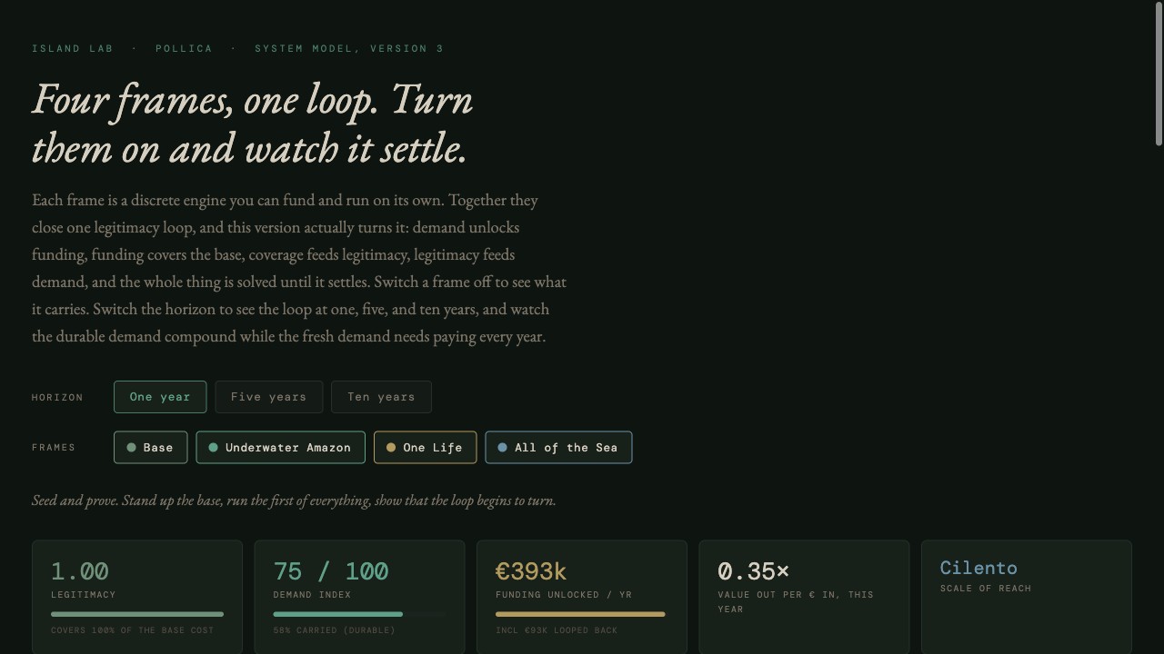
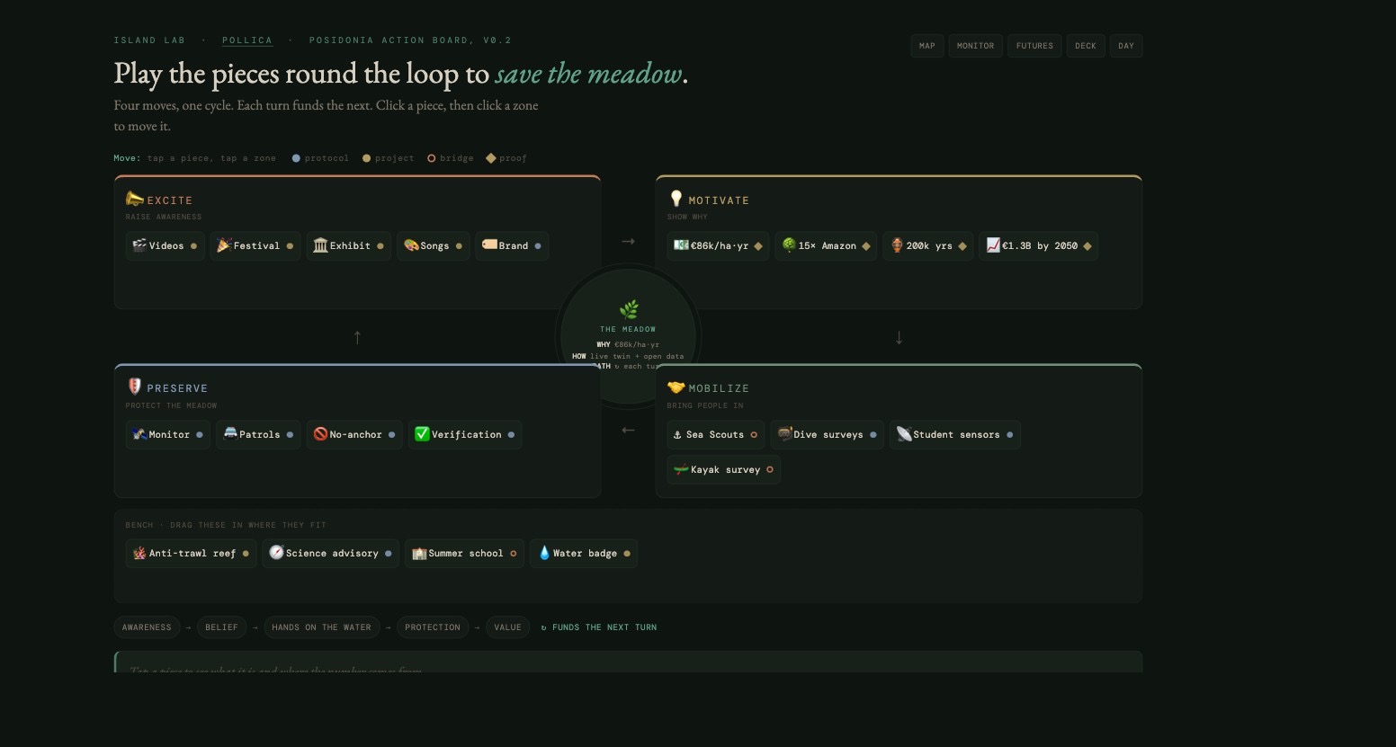
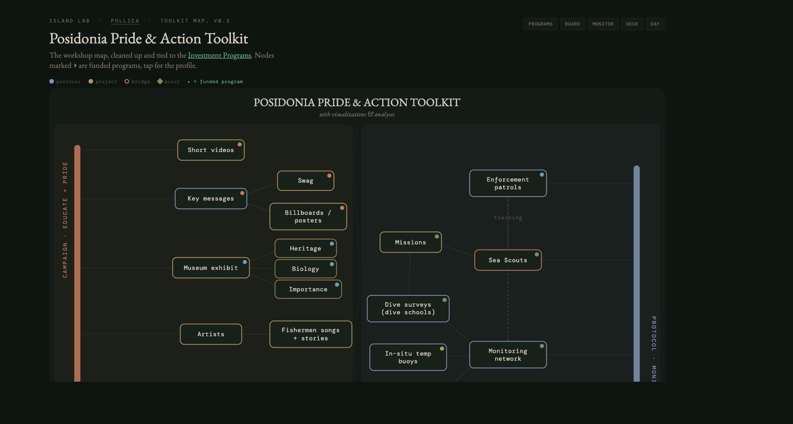
Open any of these now
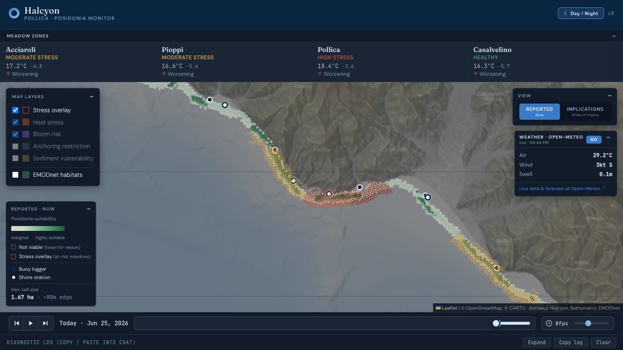
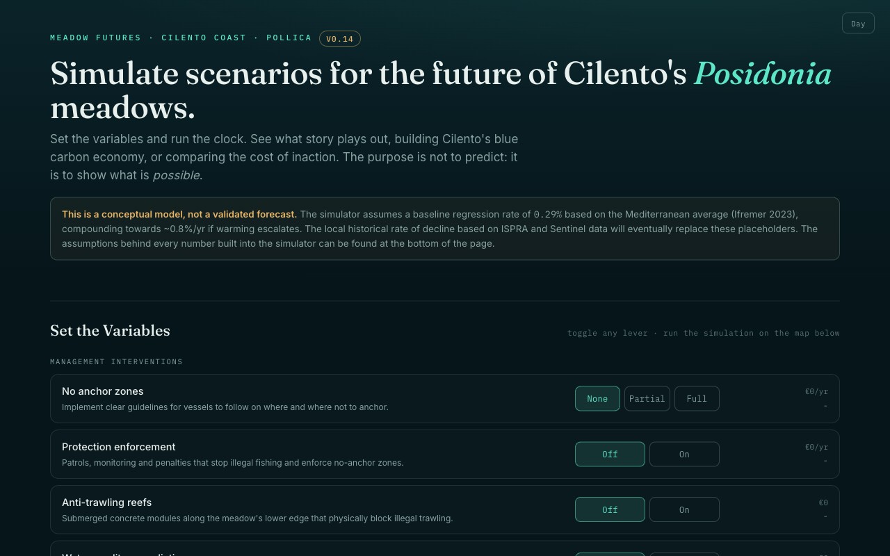
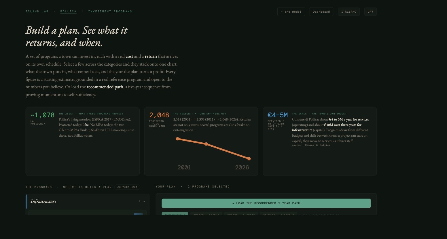
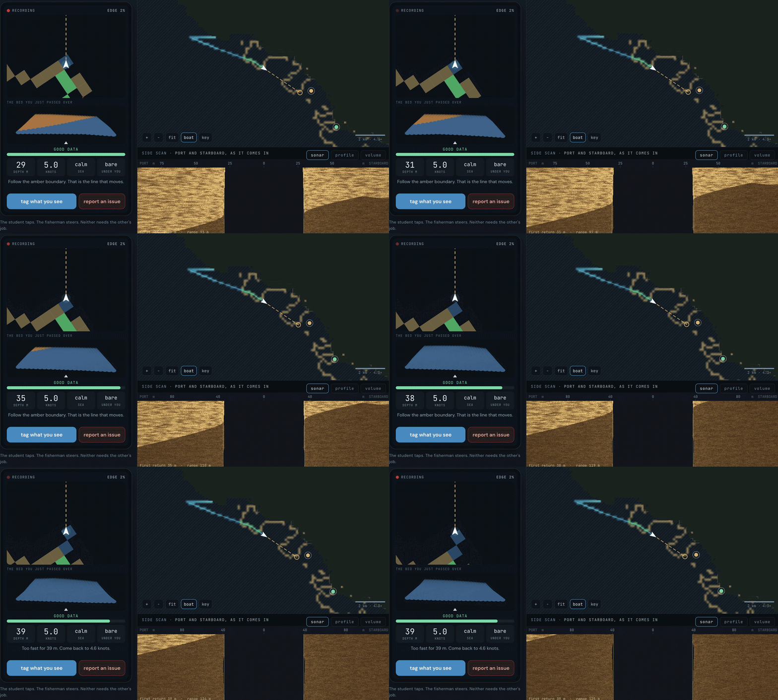
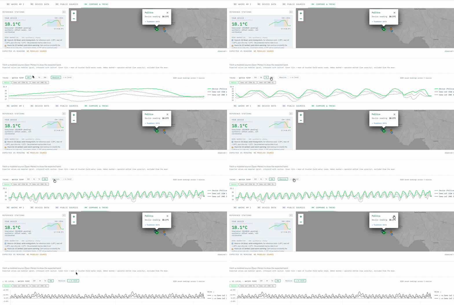
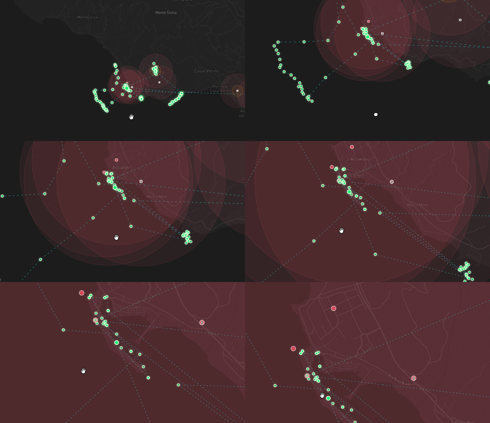
The measurement layer your Madagascar project had to build from nothing already exists here. Every tile below opens a running tool.
06 The loop, and where it breaks
Route, capture, map, decide
Two outings have ever run, on 1 and 2 July 2026. Seventy reads. Six cells confirmed inside the meadow by point in polygon. The fleet has been dark since 8 July.
Coverage is exactly what the money buys. evidence ledger
Where the loop does not close
Survey returns stop at a CSV. No survey has yet run on real data end to end, from a routed line to a confirmed cell to a change in the published map. The route half is live, the capture half is early, and the join between them is the thing a pilot buys.
Read the numbers above as a starting position and never as an achievement: two outings is two outings. What they prove is that the boat, the tablet, the uplink and the map are wired to each other, on this coast, with this fleet.
07 Community engagement
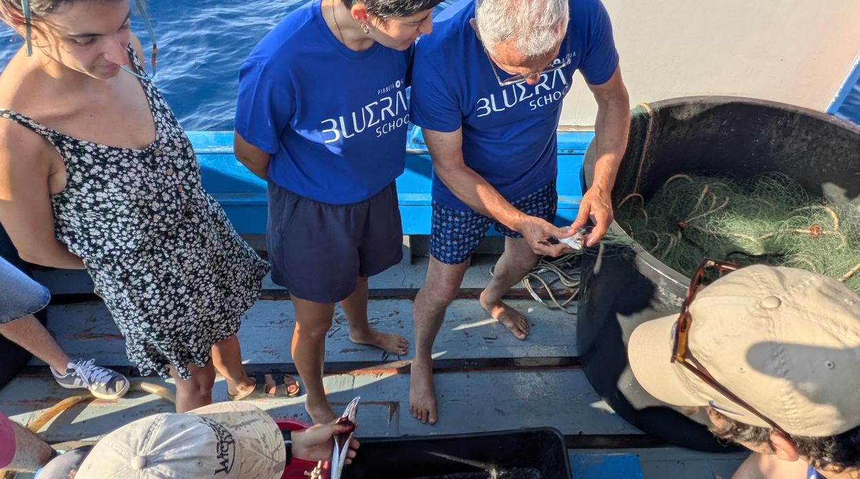
The people who extract become the people who measure
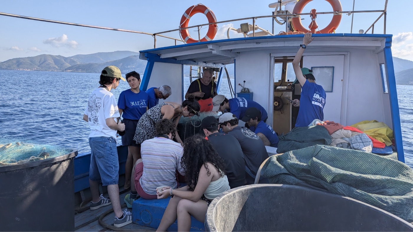
The second job is the whole design: a paid survey day for a boat that is going out anyway, with students aboard who take the method home.
The knowledge stays in the town, and so does the record. the week, July 2026
Why a fleet beats a research vessel here
A research charter buys a fortnight of the best data anyone can collect and then leaves. The fleet is already on the water every night of the season, already knows which patches changed, and is already the group with the most to lose if the meadow goes. Paying it to measure turns the cheapest available platform into the most frequent one, and turns the people who would be policed into the people holding the record.
The BLUERA students are the second half. They ran the tablets during the July week and they are the reason the method survives us leaving.
08 Who does what
The split we are proposing
The fleet and the schools collect. Island Lab supplies method and quality control. Academia validates. The comune signs off on what enters the public record.
This is a proposal. We have not put it to the Pollica administration.
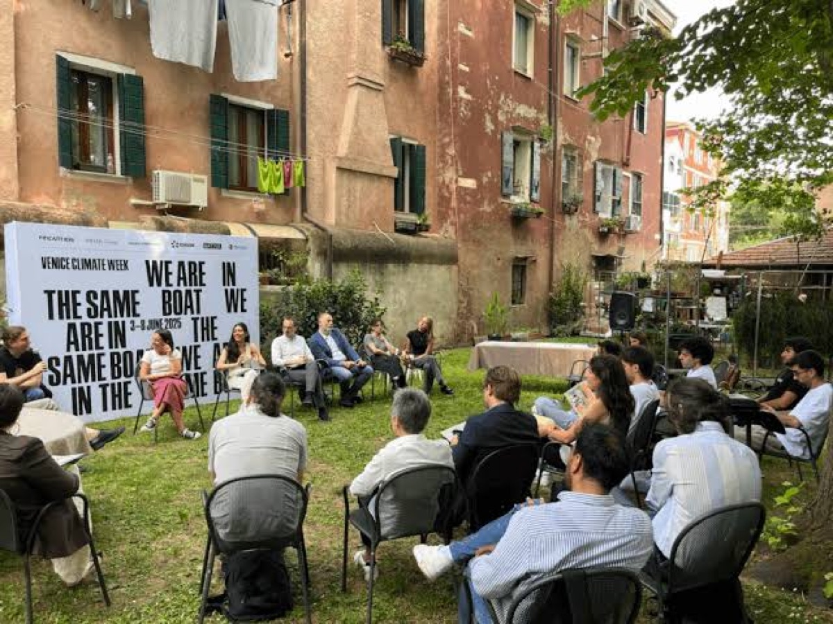
Role by role against collect, validate, publish and sign off, on a stated seasonal cadence, drawn from the operations model. Not yet drawn.
10 The economics, protection first
The unit is one protected hectare
Carbon at 9.84 EUR per hectare per year is the small, well-sourced half. Biodiversity at 150 is the larger, softer half. Stacked, 159.84.
Ceiling 172k a year over Pollica's 1,075 ha, 849k over the 5,310 of the Cilento coast. A ceiling is not a forecast. rates and bands
The stacked credit drawn to scale (carbon 9.84 against biodiversity 150) with both bands, against operating cost at each footprint. Computed from the rates, not yet drawn.
The bands, the basis, and the number we revised down
Basis. The protected hectare, avoided loss, not actively restored. Carbon is 0.41 tCO2e per hectare per year durable at 24 EUR per tonne, band 11 to 27, giving 9.84 EUR per hectare per year. Biodiversity is 150 EUR per hectare per year, band 50 to 500. Stacked central 159.84, honest band 54.51 to 511.07, so roughly 290k to 2.7M EUR a year across the mapped coast.
The footprint is an open decision and we are showing it as one. Pollica's own bounds hold 97 mapped features and 1,075 ha; the Cilento coast the mapper actually renders holds 391 features and 5,310 ha. Both computed by spherical polygon integration on 4 August 2026 over ISPRA 2017 features via EMODnet. One comune or thirteen municipalities is a scope choice for this table, not a data question, and it changes the ceiling by a factor of five.
Carbon alone does not pay for this at either footprint. The carbon line covers 43 percent of operating cost at Pollica and 85 percent at Cilento. Biodiversity closes the gap, and biodiversity is the half carrying the ten-fold band.
Both lines are gated on verification being funded. Neither is revenue until somebody pays for the measurement that would stand up to an auditor. That is the point of the ask.
We carried 40 EUR per tonne until we sourced it properly. The sourced central is 24 and one of our own live pages still shows the old figure while we correct it. You would have found that, so here it is first.
Restoration is not credit-funded and is not close. ARTEMIS models restoration at 516,000 to 942,000 EUR per hectare at 2010 prices, against credits projected at 34,033 EUR per hectare in 2035 rising to 41,221 by 2050. A recent Balearic project ran at 2.5M per hectare. Two different vintages, and the gap survives every way of reading them, which is why this case is protection plus community.
On the 86,000 figure. A 2024 French court ruling valued Posidonia damage at 86,000 EUR per hectare per year, reported via WWF MMI 2025 in ARTEMIS 2025. That is a judicial valuation of harm and a gross ecosystem-service value. It is not capturable revenue and it does not belong beside a credit price.
11 What it costs to stand up and run
13,403 to stand up. 24,382 a year to run.
Euros, at Pollica's footprint. Teaching is 55 percent of that operating cost and the platform is 2.4, so the instrument is not the expensive part.
Per hectare the cost halves, 22.7 to 11.5, as the footprint widens. cost model, line by line
Verification and MRV carries no figure here. No Posidonia credit has ever issued anywhere, so there is no verifier fee to derive one from. The headroom instead: below about 147k a year at the Pollica footprint, the central case still covers.
The four lines, their confidence, and what covers what
Capex, one proof of concept: 13,403 EUR. Six sensor units at 346 each, one Cerulean side-scan rig at 7,959, a ground-truth kit and mobilisation. Composition is ours, prices are published.
Opex: 24,382 EUR a year at 1,075 ha, 61,258 at 5,310 ha. The survey day rate is 250 EUR per boat-day, band 150 to 400, and it is the softest line in the model: no Italian fisher-science charter rate is published anywhere, so it is a medium-confidence comparable. The teaching layer is reconstructed from the actual six-day bootcamp we ran in July 2026. Platform is priced on the Supabase, Vercel and Notehub tiers we already run on.
Operating cost is covered at every combination of footprint and rate. Against the 159.84 central, opex is 14.2 percent of the ceiling at Pollica and 7.2 percent at Cilento, breaking even at 153 and 384 protected hectares. At the pessimistic 54.51 those become 41.6 and 21.2 percent, breaking even at 447 and 1,124 hectares. Worst case, running the programme consumes 42 percent of what it could earn.
12 Certification, and the ask
No Posidonia credit has ever issued, anywhere
One project is labelled anywhere in the world: PosBacia25 off Nice, zero credits recognised, and it cannot issue before 2030. An originator entering now is early. Label Bas-Carbone
| Proof of concept | 40k to 70k |
| Pilot | 90k to 180k |
| Scale | 350k to 650k |
What each phase buys, and what it proves
Proof of concept, about three months, 40,000 to 70,000 EUR. Six units in the water and one complete surveyed footprint with ground truth. It proves the one thing we cannot claim today: no real-data survey has ever run end to end.
Pilot, about twelve months, 90,000 to 180,000 EUR. A full annual cycle, a repeat survey that produces change rather than a snapshot, a local coordinator paid to hold it, and a commissioned verification scoping study.
Scale, about twenty-four months, 350,000 to 650,000 EUR. The Cilento footprint, and verification engaged for real.
The methodology that exists, the market that does not, and who we are
There is a method. SeaForest LIFE (LIFE17 CCM/IT/000121, 2018 to April 2026, partners including ISPRA and CNR) built a standardised carbon-accounting methodology for Posidonia and ran one of its three study sites inside the National Park of Cilento, Vallo di Diano e Alburni, the park Pollica sits in.
There is no Italian market to sell into yet. The consortium's own June 2023 strategy concluded that achievable volumes made an independent registry financially not attractive and feasible, so the planned national platform was never built. Italy's national voluntary carbon registry opened by MASAF decree on 15 October 2025 with a forestry-only scope.
The one precedent is French and young. PosBacia25 was labelled under the Label Bas-Carbone method for Herbiers de Posidonie on 15 July 2025: 6,500 ha off Nice, Fondation ELYX, 32,005 tCO2e of potential credits, 0 tCO2 recognised. The method verifies ex post at years 5 and 10, so the earliest possible issuance is 2030.
Us. Island Lab is a Washington State limited liability company, founded by Sean Kolk and Kate Schnippering. The receiving vehicle for an Italian municipal programme is an open question and we would rather have your answer than guess at it.