Island Lab · Pollica, Cilento · brief v0.2

The People's Posidonia

A fishing fleet that already sails, turned into the instrument that measures its own coast.

August 2026. The canonical overview; partner cuts branch from this one.

→ next · C contents · detail opens on click
01 The coast

A meadow that grows a centimetre a year

A comune of 2,100 on the Cilento coast, harbours at Acciaroli and Pioppi.
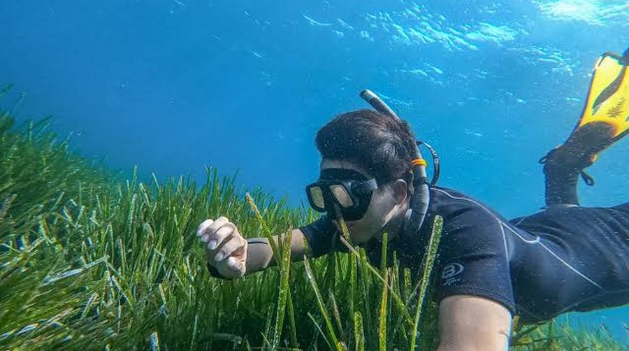
A snorkel survey over the Posidonia meadow
The meadow, in survey Posidonia oceanica holds more carbon per hectare than any other seagrass, in a peat-like matte that takes millennia to build. The Label Bas-Carbone default is 327 tonnes of carbon a hectare for a metre of matte; the deepest Corsican matte reaches about 711, which is a maximum rather than an average.
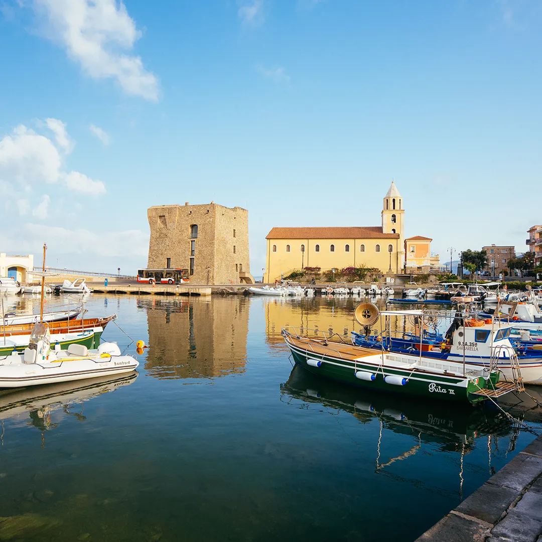
The harbour at Acciaroli, the Norman tower and the church above the moored boats
Pollica, above the water Pollica sits inside the Cilento national park, holds three UNESCO designations, and is an emblematic community of the Mediterranean Diet. Pioppi is where Ancel Keys worked for forty years. The nearest marine protected area, Santa Maria di Castellabate, ends at Punta Licosa just north of the town.

A lost meadow does not fully recover on a human timescale. MARBA & DUARTEHorizontal rhizome extension runs about 1 cm a year, with a range of roughly 0.5 to 6. Transplantation does work and is improving, at 78 to 93 per cent survival over four to six years. What takes decades to centuries is rebuilding a functioning meadow and its matte, which is why replanting is no reset button.

02 The gap

Nobody here can check the meadow this month

  • Our map is ISPRA 2017 extent: presence, little else. Newer ISPRA mapping exists, including the MER programme that surveyed the whole Italian coast to 50 metres. We do not hold those maps. The binding problem is not the vintage: no map of any vintage is monitored locally or quickly, so nothing on this coast tells you what changed since last summer.
  • Below 30 metres it is past visual depth. That is acoustic territory. In-water and acoustic survey is expensive, episodic and specialist-limited, so a great deal of Italian mapping is extrapolated rather than measured. Survey capacity is the binding constraint, and it is the one thing a fleet already on the water can supply.
  • Basin models resolve 4 km. A bay is smaller. Copernicus Marine's Mediterranean analysis runs at 1/24 degree, roughly 4 km, which resolves the mesoscale and not a nearshore meadow of tens to hundreds of metres. A nearshore bay routinely sits 1 to several degrees off the regional mean.

Extent says where; a baseline needs condition. ISPRA MER CMEMS

03 A day on the water

A day's fishing nets €30 and records nothing
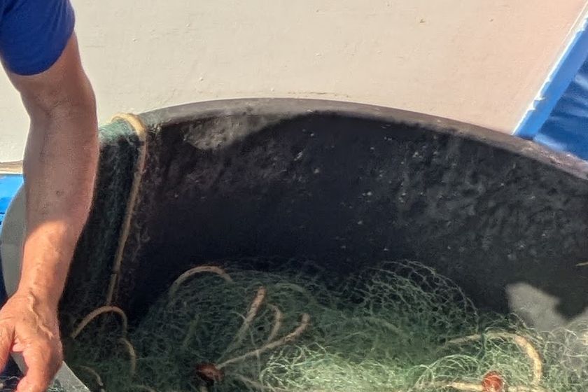
Nets coiled in the tub before dawn
Out by three

Still dark, nets in. Forty minutes to the grounds, over the meadow the whole way.
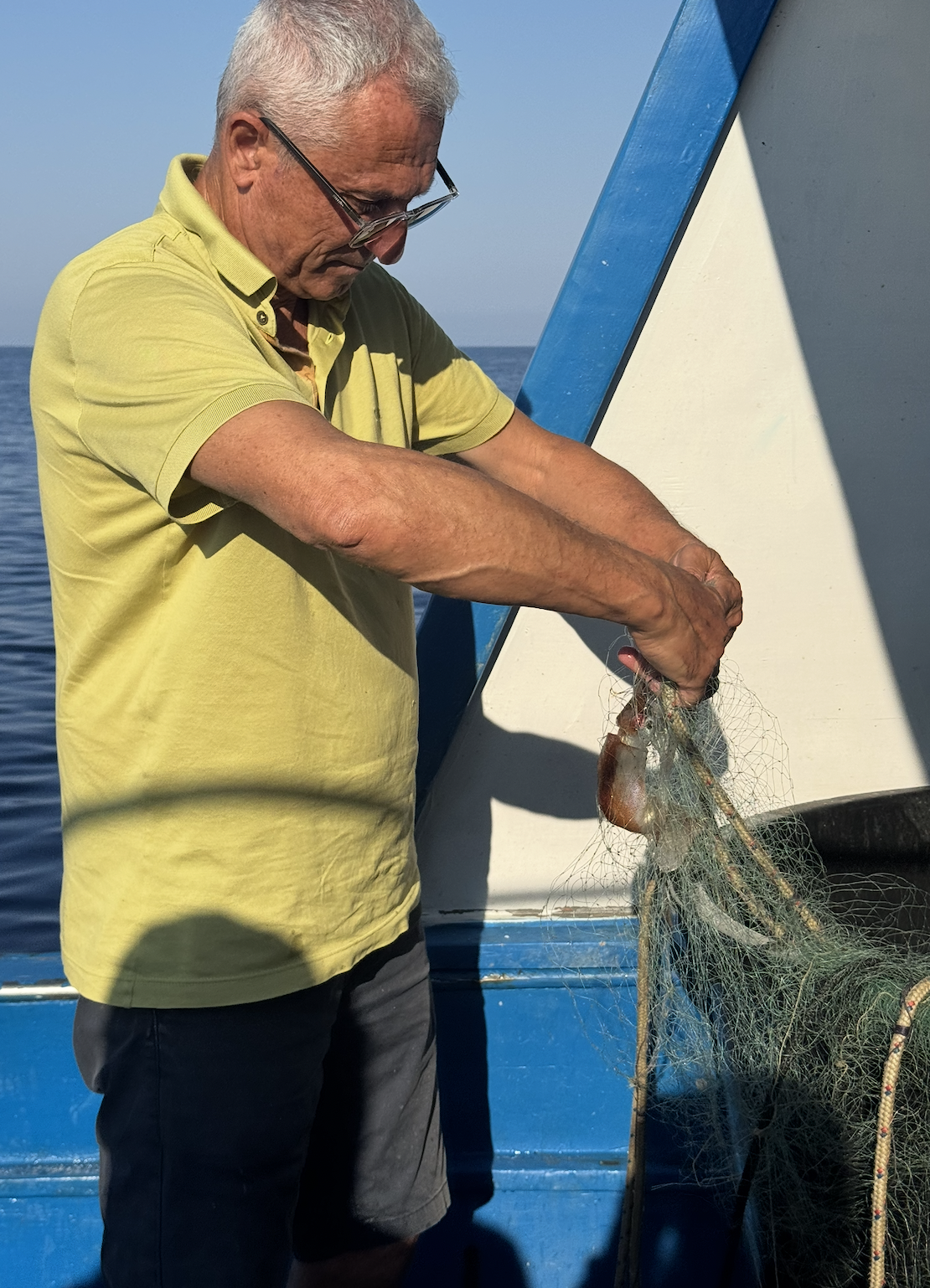
A fisherman clearing the net by hand at the rail
Forty years of the coast

Every meadow, and where it thins. Where boats anchor, too, and which patches went bare. Forty years of it, none of it written down anywhere.
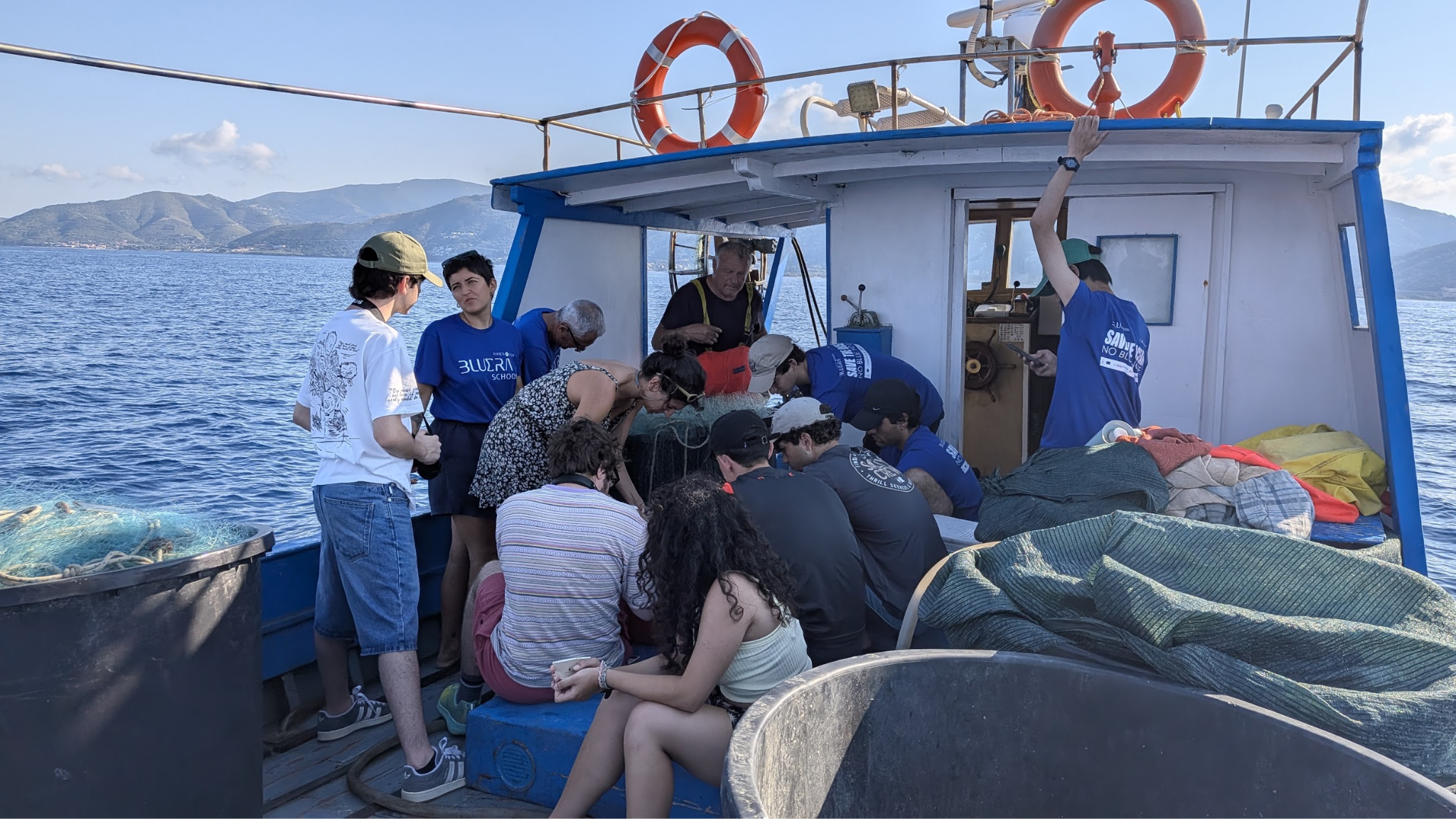
Students working the nets aboard the boat
Nets out by morning

The knowledge goes home. The catch goes to a broker for about €30 of profit after operating costs. The fish are thinning, and Posidonia is one factor among several. This is why stewardship has to pay before it can be asked for.

no photograph
of this moment
Nothing records it

A dragged anchor, a thinning patch, a bloom. Seen by the one person on the water who would recognise it, and then gone.

04 The loop

Fishermen become stewards, students their crew

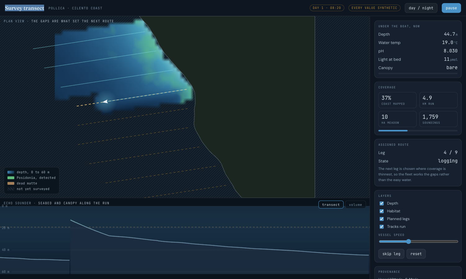
  1. Route assigned where coverage is thinnest.
  2. The boat runs it, sensors logging.
  3. The student captures the run.
  4. Returns stitch one shared map.
  5. The map sets tomorrow's route.

The pairing is the interface. BALEARICSPresence on the water deters anchoring, and the Balearics have measured it: 20 vessels across four islands, about 650 km², 1 June to 10 October, drove illegal anchoring to its lowest level since the service began. That takes a dedicated government fleet for one season. Boats already on the water are out there year-round.

05 What is built

Four screens, and the boat works as it always did
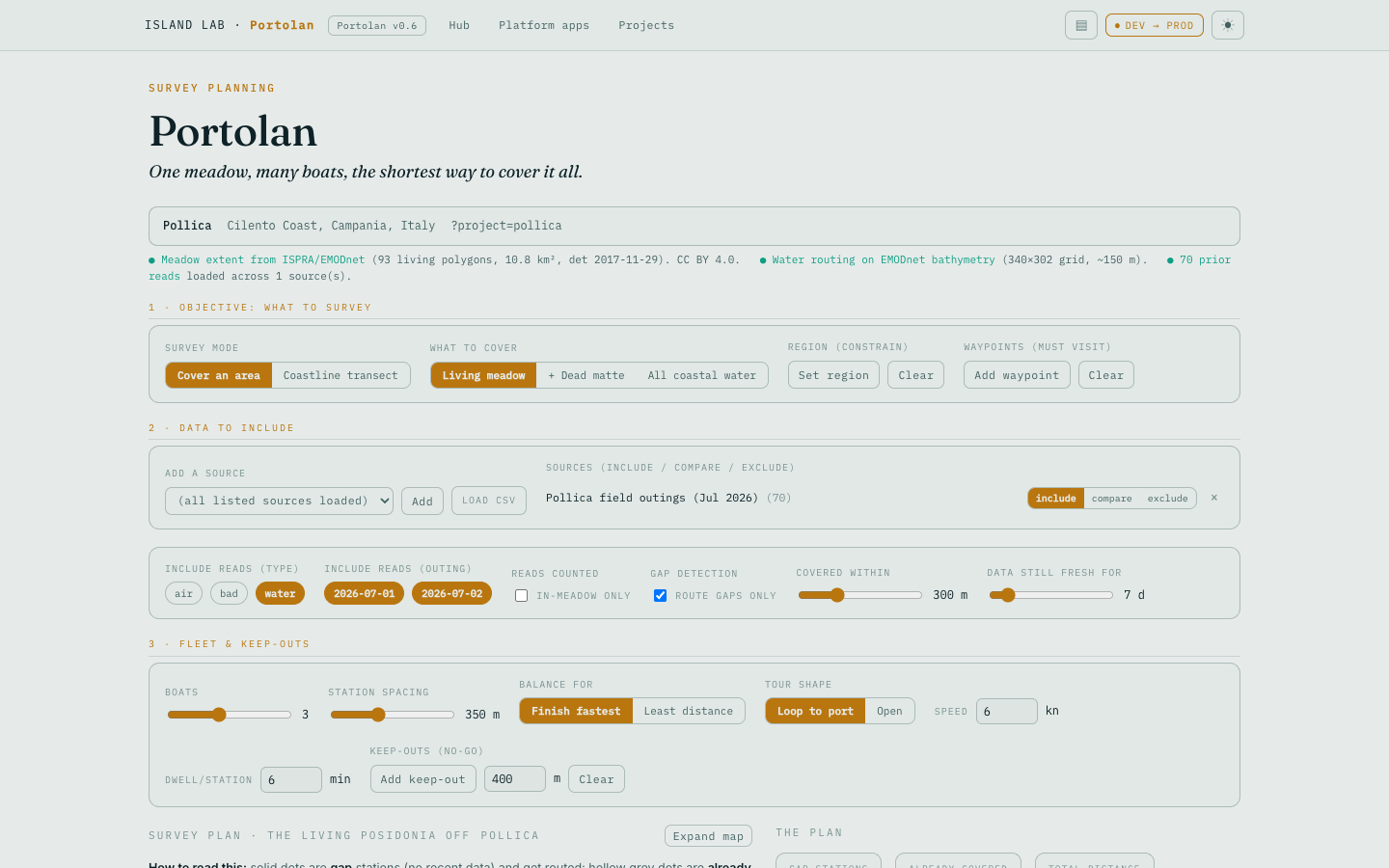
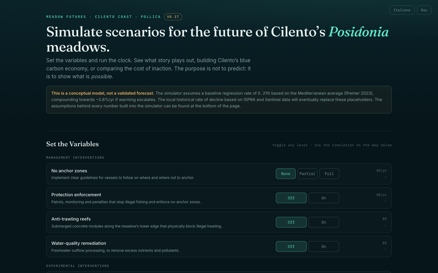
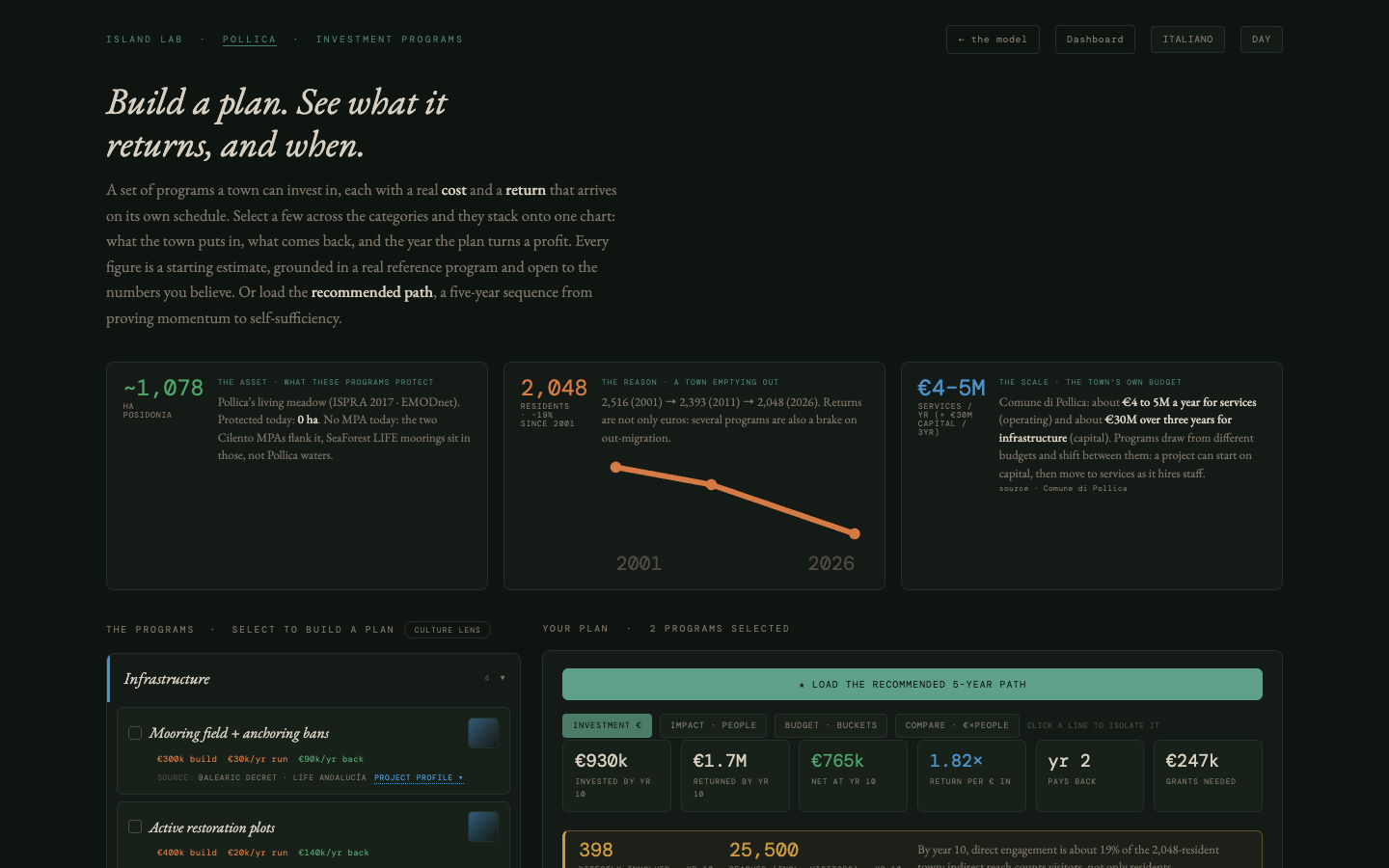
The protocol is real and tested. Every reading on these maps is synthetic. WHY SYNTHETICOne instrumented outing, ever, and the sensor fleet has been dark since 8 July 2026. Every surface labels synthetic values at the point of display, and that stays true until the first real run lands. Today the kit measures temperature and position; sonar is the difference between confirming the meadow's extent and confirming its condition.

06 The economics

Protecting a hectare for a year costs less than restoring a square metre

No Posidonia credit has ever issued, anywhere. ARTEMISFrance approved the first marine method under the Label Bas-Carbone on 21 March 2023, for avoided anchoring damage to the matte, and no issuance has followed anywhere. Every published blue-carbon price series is mangrove. Read the figures above as a case for protection first, with restoration costed separately.

07 The proof

Three things have to be true

One community and one boat first, then a year-long pilot. AC38The proof of concept runs one to three months on one community and one or two boats. The pilot that follows runs a year, which puts it against the America's Cup in Naples, 10 to 18 July 2027, and the anchoring pressure that arrives with it. A paid local coordinator is the first line of the work rather than an overhead on it.

08 Who does what

Five roles, and one nobody holds

Fleet
Runs the survey, holds the data. The fishermen and their student crews run the routes and hold the raw record, which is what makes the measurement independent of both the funder and whoever implements the work.
Comune
Archives the record. The public archive and the decisions that follow from it belong to the municipality. The South Cilento masterplan spans thirteen coastal municipalities, and our region configuration travels: a second coast is a config swap rather than a rebuild.
Island Lab
Method and quality control. We own the protocol, the tooling and the quality control, and nothing else. Every tool linked from this brief runs in a browser with no server behind it.
FFI
The Paideia Campus and students. The Future Food Institute runs its flagship Paideia Campus in Pollica, a twelve-year regeneration project launched in 2020. The Blue Era school programme is what puts students on the boats.
Sign-off
Nobody formally holds it. The director role carries authority in the accountability schema and does not exist in the data model yet. An external verifier is named in the design and has not been appointed. Both are open, and saying so is cheaper than being caught by it.

Roles as proposed. Nothing here has been agreed. MATRIX

v0.2
islandlab.dev contact

Contents

→ next · ← back · C or Esc close · Home first · End last. Each slide has its own URL, so any single point here can be sent as a link.