One quadrant of a map the community drew
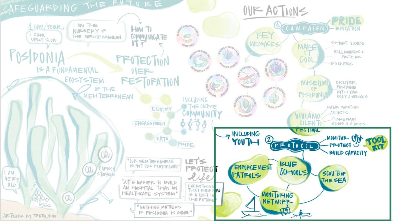
Campaign, pride and festival already move, led locally. We take the protocol quadrant: monitoring, patrols, blue schools, scouts of the sea. Artwork by Tratto_Vivo, from our Cilento workshop. Click to lift.
You cannot credit a loss you cannot prove
Avoided loss needs a ground-truthed baseline at meadow scale. Extent maps cannot carry one.
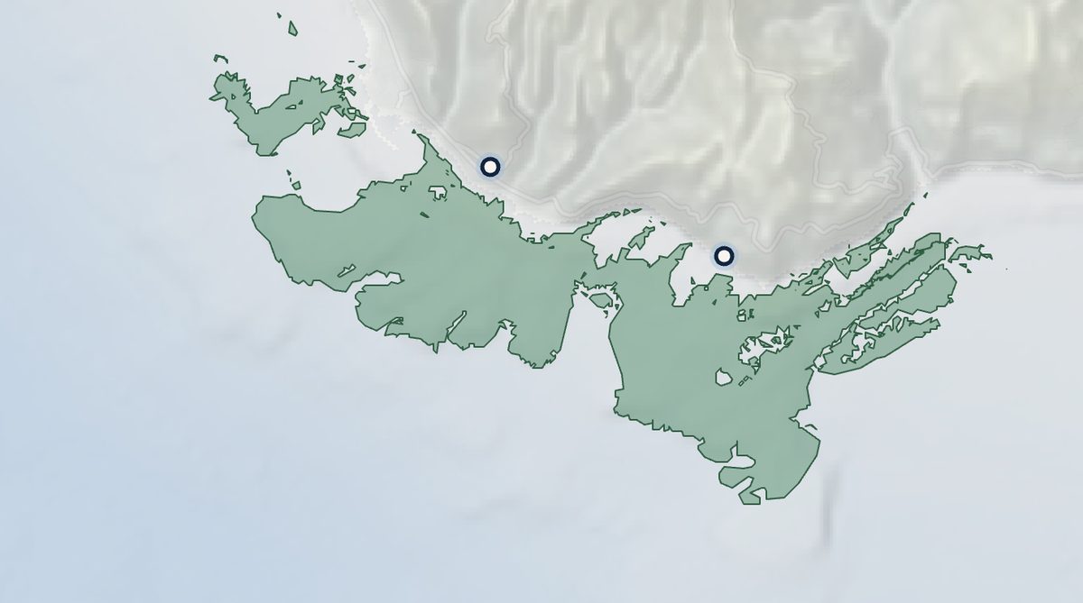
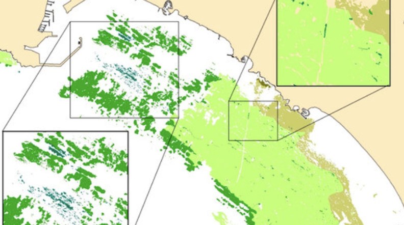
The blocker is survey capacity, not capital. WHYIn-water and acoustic survey is PhD-limited, expensive and episodic. Below about 30 metres it is past visual depth entirely, which is acoustic territory. Much of the Italian mapping is extrapolated, per Professor Scardi via ISPRA. The two frames compare method rather than place, and they are different sites.
This is not a proposal from a standing start
Partners on the water, routes already run, ecotourism already earning. Missing: the tooling that makes it repeatable.
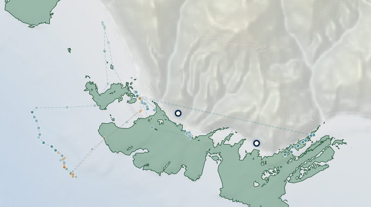
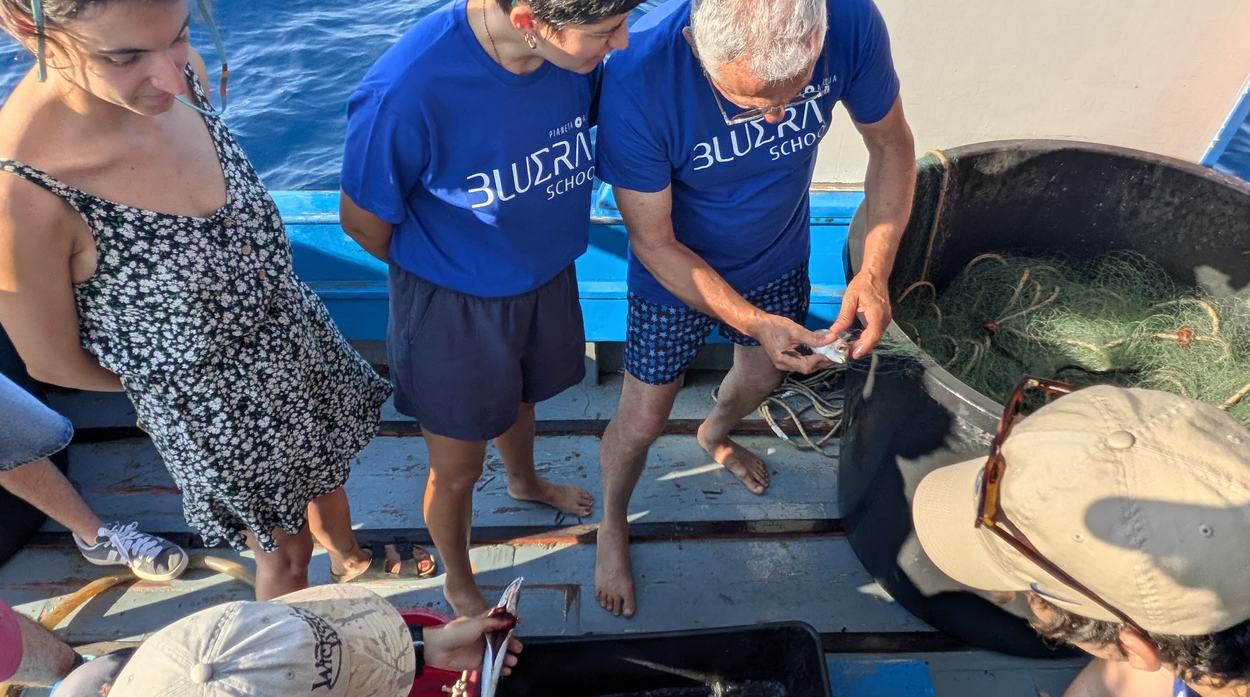
Guiding already outearns his fishing.
Half the interface exists. The fisherman's half does not.
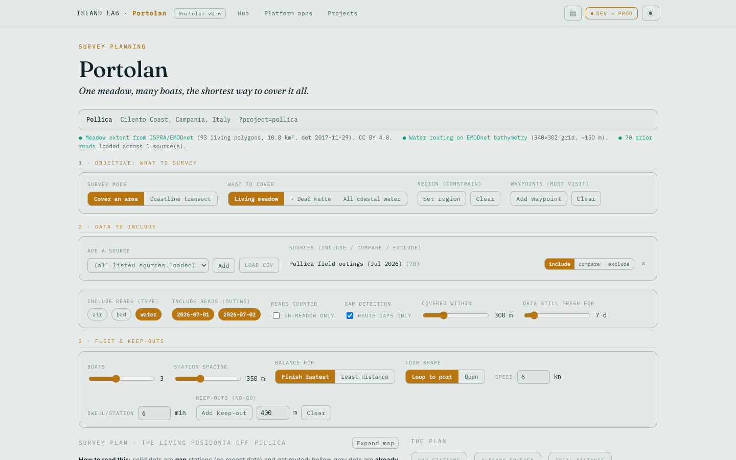
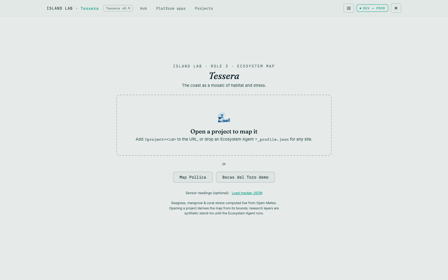
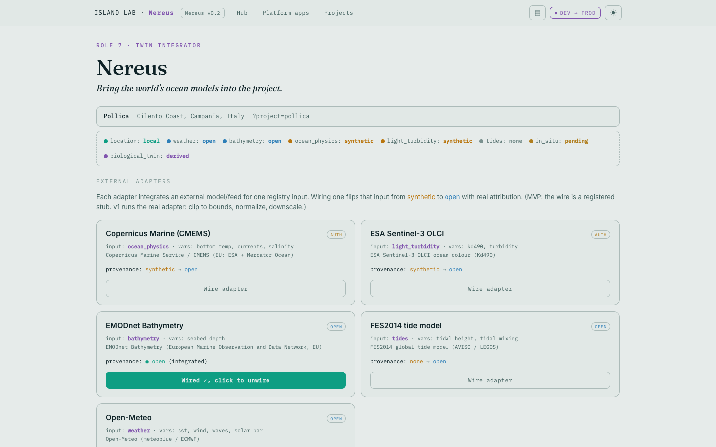
Built for the pair: the fisherman never touches a screen. The student does.
ISPRA already maps this coast; much is modelled
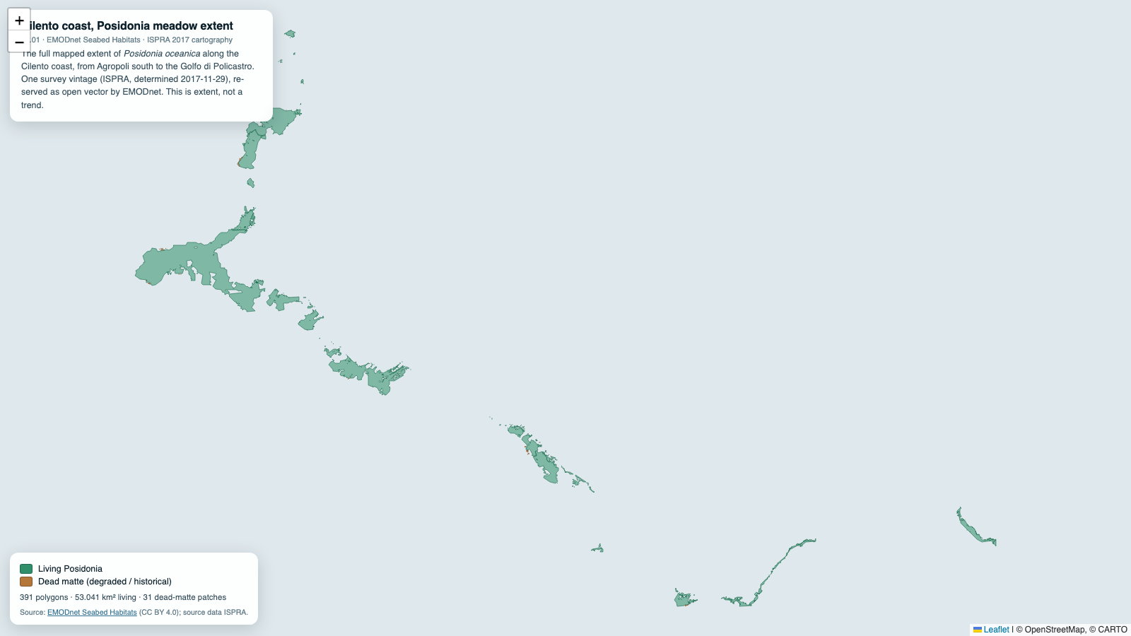
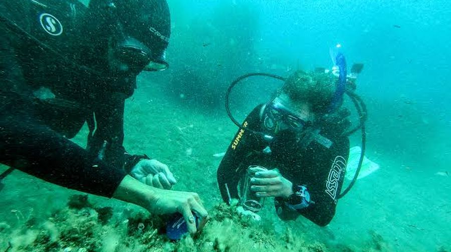
- Measured points where models guessed.
- Continuous MRV, not a periodic survey. The fleet that builds the baseline refreshes it permanently at marginal cost, so verification becomes a standing local function instead of a recurring shock to a project budget.
- Provenance on every point. Vessel, route, timestamp and a named operator: the audit trail a verifier asks for, and what satellite extrapolation cannot produce.
- Where not to replant.
Engaged communities expand the data's validity and its local support. TAHIRY HONKOProven community-led in Madagascar: over 1,200 hectares under Plan Vivo, community-monitored, twenty-year credit revenue to the villages.